 Hohenpeissenberg: Bayern, Deutschland
Hohenpeißenberg lies along the northern edge of the Bavarian Alps, where the Hoher Peißenberg rises above a broad pattern of pasture, fields and woodland. The 988-metre hill is often called the “Bavarian Rigi” for its far-reaching position in the Alpine foothills. Its summit brings together the pilgrimage church of the Assumption of Mary and the Hohenpeißenberg Meteorological Observatory, founded in 1781. The observatory's exceptionally long series of measurements has made the hill an important reference point for German climate research. Below it, scattered farms and small settlements reflect the working rural character of Upper Bavaria, while the Alps define the region’s southern horizon.
Generated by AI

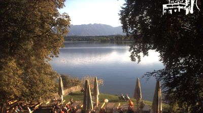
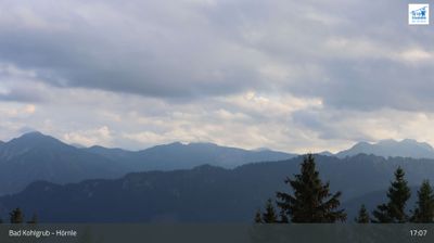
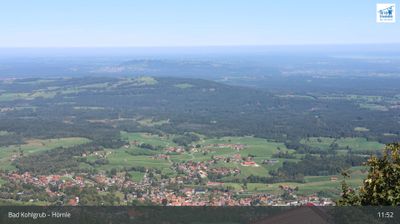
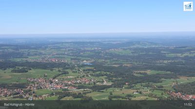
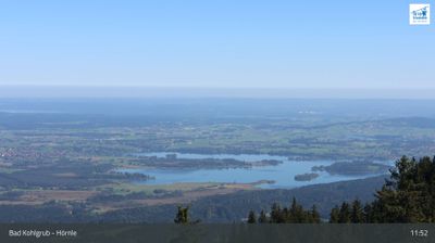

Hohenpeißenberg has served as a meteorological observation centre in Upper Bavaria since the late 18th century. The settlement spreads around the Hoher Peißenberg, a 988-metre hill in the Bavarian Alpine Foreland whose summit has long been a prominent regional landmark. Germany’s national weather service maintains an observatory here, continuing one of the world’s longest meteorological observation records. The pilgrimage church of the Assumption of Mary adds a religious and architectural focal point to the hilltop. View additional webcams nearby to better understand how Hohenpeißenberg relates to the Bavarian Alpine Foreland around it.
4 webcams
Built around the early medieval Duchy of Bavaria, Bavaria grew into Germany’s largest federal state. The Danube crosses its broad centre, while the Bavarian Alps form its southern edge and include the Zugspitze, Germany’s highest mountain. Munich is the state capital and the home of Oktoberfest, a festival rooted in an 1810 royal wedding. Beyond the metropolis, Franconia’s vineyards, Swabian towns and Alpine resorts reveal how varied this part of Germany can be. Browse additional webcams from the surrounding area to extend your view of Bavaria.
754 webcams
Germany stretches from the North Sea and Baltic Sea coasts to the Alps on its southern border, encompassing northern plains, river valleys and forested uplands. The Rhine, Danube and Elbe have long connected its regions, while the Black Forest and Bavarian Alps give the south a more dramatic relief. Berlin’s Brandenburg Gate and Museum Island reflect the capital’s role in German history and culture. Cologne Cathedral, a UNESCO World Heritage Site, rises above the Rhine, and the Bauhaus movement, founded in Weimar in 1919, transformed modern design far beyond Germany. Regional cooking, Christmas markets and brewing traditions bring further character to daily life. Browse additional webcams from the surrounding area to extend your view of Germany.
2.5K webcams