 Ho Rattanachai Subdistrict: Pridi-Thamrong Bridge - Pa Sak
The Pa Sak River defines the setting of Ho Rattanachai Subdistrict — its broad lowland channel brings riverbanks, bridges and urban infrastructure into the fabric of Ayutthaya. Pridi-Thamrong Bridge is one of the crossings linking the Pa Sak’s two banks in a city long shaped by waterways and canals. Downstream, the Pa Sak joins the Chao Phraya, part of the river network that sustained the former Siamese capital. Ayutthaya served as Siam’s capital until 1767, and its Historic City is inscribed on UNESCO’s World Heritage List. Ho Rattanachai belongs to the modern city beside this major archaeological area, where everyday movement continues alongside temple ruins and established riverside neighbourhoods.
Generated by AI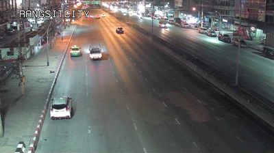
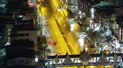

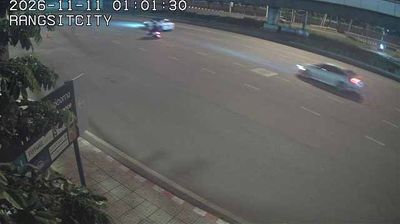


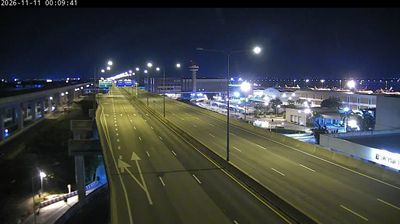

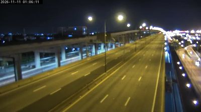

Ho Rattanachai Subdistrict sits beside the Pa Sak River in Phra Nakhon Si Ayutthaya Province, where the waterway skirts the eastern side of Thailand’s former royal capital. It forms part of Ayutthaya, the Siamese capital from 1351 until 1767 and a UNESCO World Heritage site known for its brick temple ruins and towering prang. Wat Ratchaburana, founded in 1424 by King Borommarachathirat II, is among the city’s major monuments; its central prang reflects Khmer-influenced temple architecture. Markets, roads and rail links give this district an everyday rhythm alongside the old city. View additional webcams nearby to better understand how Ho Rattanachai Subdistrict and Ayutthaya relate to the Pa Sak River and the wider province.
1 webcam
Phra Nakhon Si Ayutthaya Province extends from the Pa Sak River in the east to the Chao Phraya floodplain in the west, encompassing low-lying central plains shaped by waterways and rice agriculture. Its principal city, Ayutthaya, was the capital of the Kingdom of Siam from 1350 until 1767. The Ayutthaya Historical Park preserves temple ruins, Buddha images and royal monuments on an island framed by the Chao Phraya, Pa Sak and Lopburi rivers; it has been a UNESCO World Heritage Site since 1991. Beyond the historic core, river communities, canals and working farmland define the province’s everyday setting. Find related webcams in the surrounding area to build a fuller picture of Ayutthaya and Thailand’s central plain.
1 webcam
Thailand stretches from the mountains along its northern borders to the Malay Peninsula, encompassing fertile central plains, river deltas and long tropical coasts. The Chao Phraya River runs through Bangkok, where the Grand Palace and Wat Phra Kaew remain central symbols of the Thai monarchy and Buddhist tradition. North of the capital, Ayutthaya’s temple ruins recall the former Siamese kingdom; farther south, the Andaman Sea and Gulf of Thailand frame islands, fishing ports and beach resorts. Thai food, from street stalls to regional kitchens, is inseparable from daily life, while Songkran marks the traditional New Year each April. Browse additional webcams from the surrounding area to extend your view of Thailand.
148 webcams