 Hino: Tama River
The Tama River defines the setting of Hino — its broad channel and vegetated banks form an open river corridor within western Tokyo. Flowing from the mountains of Yamanashi Prefecture to Tokyo Bay, the Tama is one of the capital region’s principal rivers and has long shaped communities along its course. Hino developed on the Musashino Plain west of central Tokyo, where riverside lowlands meet built-up neighbourhoods. The city is closely associated with Hijikata Toshizō, the Shinsengumi vice-commander born in Hino; a museum dedicated to him stands here. Embankments, floodplain vegetation and water-control works show how the river remains part of everyday metropolitan life.
Generated by AI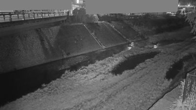
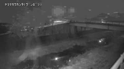
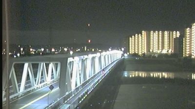
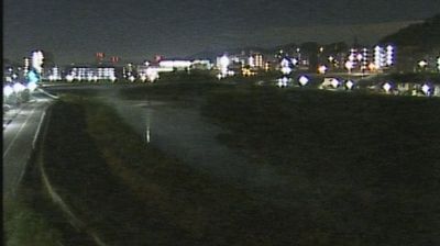

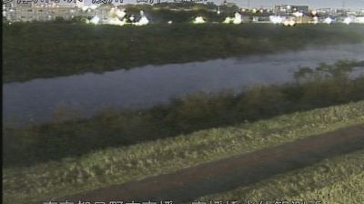


Hino combines the quieter rhythm of a riverbank city with the everyday connections of metropolitan Tokyo in a way that reflects its position on the Tama River in western Tokyo. Its neighbourhoods lie beyond the capital’s dense central wards, while rail links keep the city closely tied to Tokyo’s urban network. Hino-juku developed as a post town on the Kōshū Kaidō, an Edo-period route leading west from Edo, and its surviving honjin recalls the travellers and official processions that once passed through. Hino is also associated with Hijikata Toshizō, a leading figure of the Shinsengumi, who was born here. Takahata Fudōson temple is another enduring local landmark. Browse other webcams across western Tokyo to place Hino in a wider geographic context.
4 webcams
Tokyo stretches from the Okutama Mountains to the Izu and Ogasawara island groups, encompassing urban lowlands, forested uplands and volcanic Pacific islands. These coordinates fall on Izu Oshima, the largest of the Izu Islands, where Mount Mihara forms the island’s volcanic core. Black-sand shores and lava terrain contrast with the capital’s built-up centre, showing how far Tokyo’s administrative territory reaches into the ocean. Izu Oshima is closely associated with camellias, and Oshima Tsubaki oil remains a recognised local product. Ferry links from the mainland make the island part of Tokyo’s wider maritime setting. See how Tokyo connects mainland Japan with its Pacific islands by browsing webcams nearby.
222 webcams
Among the countries of East Asia, Japan stands out for its volcanic archipelago, stretching from the cool north of Hokkaido to subtropical Okinawa. Mount Fuji, the nation’s highest mountain, rises above central Honshu, while the Pacific Ocean and the Seto Inland Sea have long shaped settlement, fishing and travel. Tokyo pairs dense urban life with major museums and neighbourhood traditions; Kyoto preserves temples, gardens and the legacy of Japan’s imperial court. Seasonal customs give journeys a changing rhythm, from spring cherry blossom viewing to autumn leaves. Regional cooking is equally varied, with sushi, ramen and local specialties reflecting coastlines, climate and agriculture. Explore nearby webcam locations that provide complementary perspectives on Japan’s islands, cities and mountain regions.
1.3K webcams