 Hattula
 lies along Lake Vanajavesi in Kanta-Häme, a lakeshore position that has shaped settlement in this largely wooded part of southern Finland. The municipality includes Parola and a network of outdoor routes passing through forests and open ground within the Finnish Lakeland. Hattula’s foremost historic monument is the Church of the Holy Cross, a medieval stone church renowned for its extensive wall paintings. Lake Vanajavesi belongs to the Kokemäenjoki watershed, while the surrounding Tavastian countryside is defined by lakes, cultivated land and managed woodland. Hattula presents a quieter side of the Häme region, where local recreation and medieval heritage are central to its identity.
Generated by AI
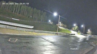
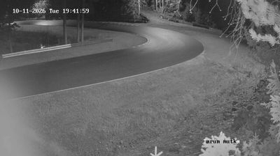

Tucked along Lake Vanajavesi in the Kanta-Häme region, Hattula is a municipality whose character is shaped by its lakeshore setting and the surrounding Finnish Lakeland. Close to Hämeenlinna, it retains an identity rooted in older rural parishes and smaller settlements rather than a single urban centre. The medieval Church of the Holy Cross is Hattula’s best-known monument: this 15th-century brick church preserves extensive wall paintings and is an important example of Finland’s medieval ecclesiastical art. In Parola, the Parola Tank Museum displays military vehicles and traces the history of Finland’s armoured forces. Lake Vanajavesi gives the area a distinctly waterside rhythm, with shorelines and woodland central to the local setting. Seek out related webcams around Lake Vanajavesi for a wider impression of Hattula and Kanta-Häme.
1 webcam
Kanta-Häme has served as the historic heartland of Häme in southern Finland since the Middle Ages. Its gently rolling countryside is threaded by lakes and farmland, with Lake Vanajavesi forming a defining waterway around Hämeenlinna, the regional centre. The city’s Häme Castle, a medieval brick fortress beside the lake, recalls the period when Swedish rule extended into inland Finland. Beyond the city, woodland, fields and small settlements shape a measured rural character, while Liesjärvi National Park protects lakeside forest and traditional landscapes. Discover other points of interest through webcams located across Kanta-Häme.
35 webcams
The terrain of Finland ranges from low coastal plains along the Gulf of Bothnia to fells in Lapland, creating a country of forests, lakes and long northern distances. More than 180,000 lakes shape everyday life, while the Lakeland region is threaded with waterways and islands. Helsinki, on the Gulf of Finland, combines neoclassical landmarks around Senate Square with contemporary Finnish design. Farther north, the Sámi are Finland’s only recognised Indigenous people, and their culture remains closely connected to the Arctic region. In winter, snow and ice transform the north; in summer, long daylight extends outdoor life well into the evening. Continue through nearby webcams to explore different parts of Finland.
1.7K webcams