 Hassler Mill: Drake Road - US Highway 41
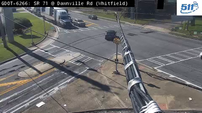
Hassler Mill has served as a road crossroads in northwest Georgia since the early twentieth century. The community lies in Whitfield County, within the Ridge and Valley section of the Appalachian Mountains, where long wooded ridges and settled valleys shape travel routes. US Highway 41, concurrent here with Georgia State Route 3, is a north–south artery linking the Dalton area with communities toward Chattanooga and Atlanta. Drake Road joins this highway corridor near Hassler Mill. US 41 also follows part of the historic Dixie Highway, an early automobile route that connected the Midwest with the South. The setting is practical rather than urban: homes, roadside businesses and open parcels line a heavily used regional road.
Generated by AI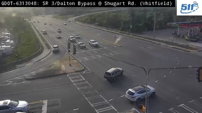
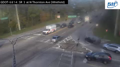

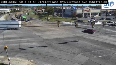
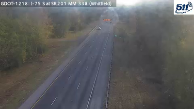
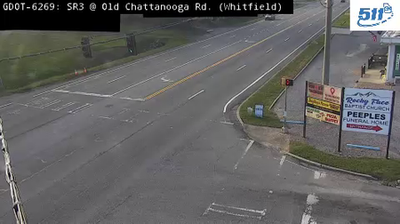
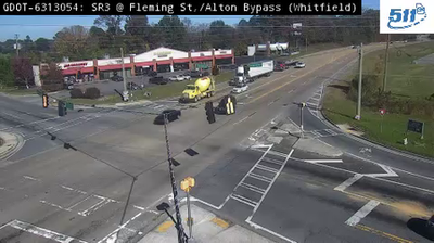
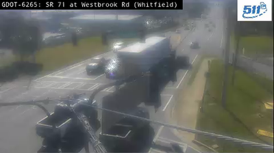
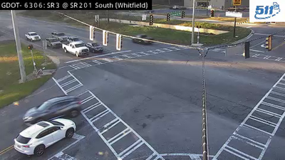

Rocky Face Ridge defines the setting of Hassler Mill — its north–south escarpment helps give this part of Whitfield County the enclosed valleys and transport corridors typical of northwest Georgia. The locality lies in the state’s Ridge and Valley region, where parallel ridges replace the broad lowlands of central Georgia. Rocky Face Ridge saw fighting in May 1864 during the opening of the Atlanta Campaign, and part of the area is preserved as Rocky Face Ridge Battlefield. Dalton, the county seat and a major centre of the US carpet industry, is nearby to the south. View additional webcams nearby to better understand how Hassler Mill relates to Rocky Face Ridge and the valleys of northwest Georgia.
2 webcams
The terrain of Georgia ranges from the Blue Ridge Mountains in the north to the low, sandy Atlantic Coastal Plain in the south and east, creating a state of sharply varied landscapes. The Chattahoochee River follows much of the Alabama border, while the Savannah River forms much of the boundary with South Carolina before reaching the Atlantic. Atlanta is closely linked to the US civil rights movement and includes the Martin Luther King Jr. National Historical Park. On the coast, barrier islands and salt marshes frame Savannah, whose historic district is recognised for its network of public squares. Explore related webcams in the surrounding area to build a fuller picture of Georgia.
2.9K webcams
The Atlantic, Pacific and Gulf coasts define much of the United States — their ports, fisheries and trade routes have long tied the country’s economy to the wider world. Between them, the Rocky Mountains, Great Plains and Mississippi River basin form sharply different regions, from high western ranges to broad agricultural heartlands. Cities carry much of the national story: New York’s Statue of Liberty, a gift from France dedicated in 1886, remains an enduring symbol, while Washington, DC concentrates major federal institutions. Indigenous nations have shaped these lands for millennia, and their living cultures remain essential to the country’s identity. Find related webcams in the surrounding areas to build a fuller picture of the United States.
32K webcams