 Harbor View
Few places in Southwest Florida have a history as closely tied to the expansion of Interstate 75 as Harbor View. This Charlotte County locality lies inland from Charlotte Harbor, a broad Gulf Coast estuary fed by the Peace and Myakka rivers. I-75 is the defining modern route here, carrying traffic between Naples, Fort Myers, Punta Gorda and communities farther north. The corridor crosses low, flat terrain with wooded roadside land, wetlands and dispersed development rather than a dense urban centre. Charlotte Harbor and nearby Punta Gorda provide the area’s best-known coastal identity. The wider harbor region was part of the Calusa people’s homeland before European colonization, a history that long predates the interstate.
Generated by AI
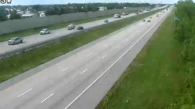
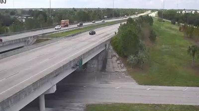

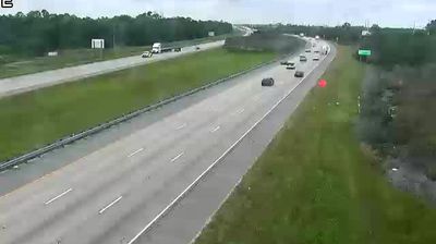
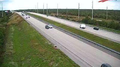
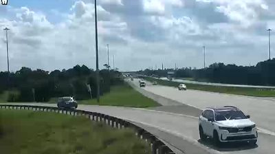



The low-lying subtropical terrain around Harbor View meets the tidal waters of Charlotte Harbor, which have shaped both the settlement pattern and local economy. This small Charlotte County community lies near the Peace River’s broad approach to the harbor, where boating, fishing and waterfront residential areas are central to local life. The wider Charlotte Harbor estuary formed part of the Calusa homeland before European colonization. Punta Gorda, south of the river, contributes a historic downtown and public harborfront to the area’s identity. Discover related locations around Charlotte Harbor for a broader picture of southwest Florida.
3 webcams
Florida occupies a low-lying peninsula in the southeastern United States, bordered by the Atlantic Ocean to the east and the Gulf of Mexico to the west. Lake Okeechobee lies near its centre, and water from this basin historically flowed south through the Everglades, a vast subtropical wetland protected in part by Everglades National Park. The Florida Keys extend southwest from the mainland, while long sandy coasts and inland freshwater systems shape everyday life across the state. St. Augustine, founded by Spain in 1565, is widely recognised as the oldest continuously inhabited European-established settlement in the United States. Explore additional webcams nearby to understand how Florida connects with the Atlantic, the Gulf, and the Caribbean.
4.5K webcams
The Atlantic, Pacific and Gulf coasts define much of the United States — their ports, fisheries and trade routes have long tied the country’s economy to the wider world. Between them, the Rocky Mountains, Great Plains and Mississippi River basin form sharply different regions, from high western ranges to broad agricultural heartlands. Cities carry much of the national story: New York’s Statue of Liberty, a gift from France dedicated in 1886, remains an enduring symbol, while Washington, DC concentrates major federal institutions. Indigenous nations have shaped these lands for millennia, and their living cultures remain essential to the country’s identity. Find related webcams in the surrounding areas to build a fuller picture of the United States.
32K webcams