 Hanawa: 鮫川青生野太陽光発電所 - コクドウ289ゴウ
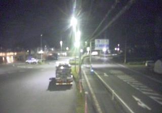
National Route 289 is best known within Fukushima Prefecture for its east–west passage from Iwaki toward the Aizu region. In the Hanawa area, it runs through the wooded, rolling terrain of the Abukuma Highlands, which occupy much of southeastern Fukushima. The route begins in Iwaki and continues to Uonuma in Niigata Prefecture, making it a long cross-regional road rather than a purely local link. It was designated as National Route 289 in 1970. The Samegawa Aono Solar Power Plant introduces a contemporary energy use into this rural setting. Together, the road, forested slopes and generating facility reflect an inland Tōhoku landscape where transport, forestry and renewable-energy infrastructure share the same corridors.
Generated by AI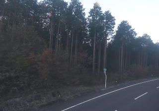



Hanawa lies along the Kuji River, where the wooded folds of the Abukuma Highlands shape a rural borderland near Ibaraki Prefecture. The river valley gives the town a settled, agricultural character, while forested slopes rise beyond its fields and residential streets. Hanawa is served by the JR Suigun Line, a local railway running through the Kuji River basin between Fukushima and Ibaraki; its stations remain an important link for communities in this inland area. This is southern Fukushima at a quieter scale, defined by river-country routines and the surrounding highlands. Explore nearby webcam locations that provide complementary perspectives on Hanawa and southern Fukushima.
6 webcams
Fukushima Prefecture combines Pacific coastal openness with a mountainous interior in a way that reflects its position between the ocean and the highlands of northeastern Honshu. Its varied territory extends from the shoreline through the Abukuma Highlands to the snowier Aizu region in the west. Lake Inawashiro and Mount Bandai are enduring landmarks of the interior, while Aizu-Wakamatsu is known for Tsuruga Castle and traditions including lacquerware and sake brewing. This is a prefecture of distinct local identities, shaped by coast, farmland, forests, and mountain basins. Explore nearby webcam locations that provide complementary perspectives on Fukushima Prefecture.
66 webcams
Among the countries of East Asia, Japan stands out for its volcanic archipelago, stretching from the cool north of Hokkaido to subtropical Okinawa. Mount Fuji, the nation’s highest mountain, rises above central Honshu, while the Pacific Ocean and the Seto Inland Sea have long shaped settlement, fishing and travel. Tokyo pairs dense urban life with major museums and neighbourhood traditions; Kyoto preserves temples, gardens and the legacy of Japan’s imperial court. Seasonal customs give journeys a changing rhythm, from spring cherry blossom viewing to autumn leaves. Regional cooking is equally varied, with sushi, ramen and local specialties reflecting coastlines, climate and agriculture. Explore nearby webcam locations that provide complementary perspectives on Japan’s islands, cities and mountain regions.
1.3K webcams