 Haguenau: Région Alsace, France
The Haguenau Forest defines the setting of Haguenau — its broad woodland fringe meets the level Alsatian plain, giving this northern Alsace town an open, lowland character. South of the centre, Haguenau aerodrome occupies open ground used for local general aviation, while the town itself stands between Strasbourg and the German border. Haguenau developed as an imperial town of the Holy Roman Empire during the Middle Ages. The Musée Historique de Haguenau is housed in the former 15th-century Chancellerie, and its collections trace local archaeology and the town’s past. Forest, fields and a compact urban centre together introduce the quieter northern side of Alsace.
Generated by AI



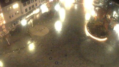



Haguenau occupies the valley of the Moder River in northern Alsace, within France’s Grand Est region. The town stands beside the Forêt de Haguenau, a broad lowland forest that gives its outskirts a distinctly wooded character and provides routes for walking and cycling. Its centre preserves the identity of a former imperial town: Haguenau joined the Alsatian Décapole, a league of ten imperial cities, in 1354. The 12th-century Romanesque nave of Saint-Georges church recalls its medieval development, while the Musée Historique is housed in the former Chancellery. Alsatian cooking and the regular market keep the centre closely tied to regional life. Browse other webcams across northern Alsace to place this setting in a wider geographic context.
1 webcam
Grand Est is best known in France for the Champagne vineyards that sustain one of the country’s most celebrated wine traditions. Extending from the Ardennes to Alsace on the German border, this large eastern region unites the historic territories of Alsace, Champagne-Ardenne and Lorraine. The Moselle runs through Lorraine, while the Rhine shapes much of the eastern frontier. Strasbourg, the regional capital, is home to the European Parliament and its celebrated Gothic cathedral; nearby Nancy is distinguished by the UNESCO-listed Place Stanislas. Continue through nearby webcams to explore different parts of Grand Est.
104 webcams
The Atlantic and Mediterranean coastlines, together with the Alps, Pyrenees and broad river basins, define much of France — they support maritime trade, farming, wine regions and travel throughout the year. The Seine runs through Paris, where the Eiffel Tower and the Louvre are among Europe’s most recognised landmarks. The Loire Valley is known for Renaissance châteaux, while Mont-Saint-Michel rises from a tidal bay in Normandy. Regional food traditions are equally distinctive, from Breton seafood to Provençal cooking, with bread, cheese and wine central to everyday life. France’s global cultural influence is evident in its language, literature, fashion and cinema. View additional webcams nearby to better understand how France’s coasts, plains and mountain borders relate to their surroundings.
1.9K webcams