 Gukeng Township
 is best known within Taiwan for its coffee-growing industry. Set in Yunlin County at the western foothills of the Alishan Range, the township combines lowland settlement with hill country that rises toward central Taiwan. Gukeng coffee has become one of the country’s most recognisable local agricultural products, and the Taiwan Coffee Festival has helped establish the area as a destination for domestic travellers. The township also includes the Caoling area, where roads continue into a more mountainous part of Yunlin. Around its built-up zones, National Freeway 3 forms an important north–south transport corridor. Gukeng is both a coffee district and a practical link between Taiwan’s western plain and its interior uplands.
Generated by AI
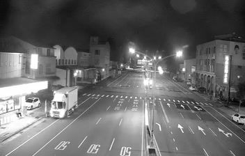
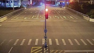


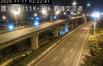

Built around agricultural settlements on the western foothills of the Douliu Hills, Gukeng Township grew into a rural township in Yunlin County. Its land rises from cultivated lowlands towards Taiwan’s interior mountains, and the Huashan area is especially associated with coffee-growing slopes. Taiwanese coffee is Gukeng’s defining local product: growers, roasters and cafés have given the crop a national profile. Janfusun Fancyworld, a large theme park in the township, provides a contrasting attraction within this predominantly agricultural setting. Roads also run east towards Caoling, where the terrain becomes steeper and more wooded. Explore nearby places in Yunlin County and central Taiwan to build a fuller picture of Gukeng Township.
1 webcam
The Zhuoshui River and the Taiwan Strait coastal plain define much of Yunlin County - fertile alluvial land has made farming central to its economy and everyday identity. Located on Taiwan’s west coast, the county is known for rice, peanuts, garlic and other crops, with flat fields extending inland toward the foothills. Douliu is its administrative centre, while Beigang is a major centre of Mazu devotion: Beigang Chaotian Temple draws worshippers, especially around the annual pilgrimage season. Coastal wetlands, working farmland and busy temple towns give Yunlin a distinctly rural, lived-in character within western Taiwan. Explore additional webcams nearby to better understand how Yunlin County relates to central Taiwan’s coastal plain and foothills.
2 webcams
Taiwan's terrain ranges from fertile plains along the western coast to steep mountains in the interior, concentrating much of its population on the lowlands. The Central Mountain Range runs through the island, while the Pacific meets a more rugged eastern shoreline and the Taiwan Strait lies to the west. Taipei combines contemporary city life with major cultural institutions: the National Palace Museum preserves an extensive collection of Chinese imperial art. Across Taiwan, night markets are central to everyday eating, serving regional snacks alongside familiar staples. Tea cultivation, especially in upland areas, remains an enduring part of the island's food culture. Explore nearby locations that provide complementary perspectives on Taiwan.
94 webcams