 Guadalupe
 combines the close-knit character of an incorporated town with the scale of metropolitan Phoenix in a way that reflects its position on the Salt River’s desert plain. The community lies south of the Salt River beside Tempe, near the junction of Interstate 10 and Loop 202. Guadalupe is closely associated with Arizona’s Yaqui community and remains part of the wider Phoenix metropolitan area. Low-rise neighborhoods and broad transport corridors underline its place in one of the Southwest’s largest urban regions. The South Mountains form the prominent upland edge to the southwest. Its Spanish name, meaning “Our Lady of Guadalupe,” reflects the Catholic tradition important to many Yaqui families.
Generated by AI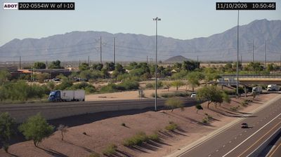
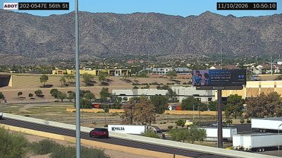
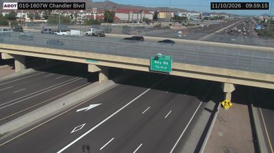

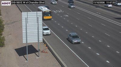

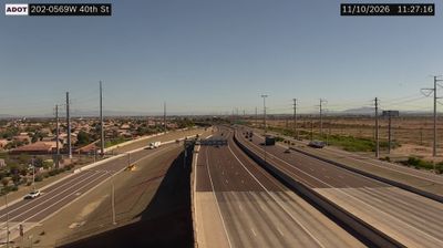


Guadalupe lies in Arizona’s Salt River Valley, a Sonoran Desert basin now largely joined to the urban fabric of Tempe and Phoenix. Despite that metropolitan setting, it is an incorporated town with a distinct identity shaped by a longstanding Yaqui community and Mexican American heritage. Yaqui families fleeing persecution in Mexico established a settlement here in the early 20th century, and their traditions remain central to local life. The town’s religious calendar includes Yaqui Easter observances held in ceremonial ramadas and churches, traditions visitors should approach respectfully. Its compact streets reveal a side of the Phoenix area far removed from resort districts and downtown towers. Continue through nearby webcams to explore Guadalupe and the Salt River Valley.
6 webcams
Arizona is renowned in the United States for the Grand Canyon, carved by the Colorado River in the state’s north. Its terrain extends from the Sonoran Desert, where saguaro cacti define the south, to ponderosa pine forests and the high plateaus of the Colorado Plateau. The red-rock country around Sedona and the sandstone buttes of Monument Valley are enduring symbols of the American Southwest. Indigenous heritage remains central: Arizona is home to 22 federally recognized tribes, including the Navajo Nation and Hopi Tribe. Historic Route 66 also passes through northern communities such as Flagstaff and Kingman. Discover other points of interest through webcams located across Arizona.
652 webcams
The Atlantic, Pacific and Gulf coasts define much of the United States — their ports, fisheries and trade routes have long tied the country’s economy to the wider world. Between them, the Rocky Mountains, Great Plains and Mississippi River basin form sharply different regions, from high western ranges to broad agricultural heartlands. Cities carry much of the national story: New York’s Statue of Liberty, a gift from France dedicated in 1886, remains an enduring symbol, while Washington, DC concentrates major federal institutions. Indigenous nations have shaped these lands for millennia, and their living cultures remain essential to the country’s identity. Find related webcams in the surrounding areas to build a fuller picture of the United States.
32K webcams