 Grover: I-85 S @ MM 104.2
Built around a railroad depot, Grover grew into a small Cleveland County town on North Carolina’s southern edge. It stands in the Piedmont, the rolling upland belt between the Blue Ridge and the Atlantic Coastal Plain, close to the South Carolina line. Interstate 85 runs beside the community, placing it on the main road corridor between Charlotte and Spartanburg. To the south, Kings Mountain is part of the regional landscape and is associated with the Battle of Kings Mountain, fought in 1780 during the American Revolution. Grover’s setting is defined less by a dense downtown than by transport routes, wooded lots and the low-rise pattern of the Carolina Piedmont. The town lies in Cleveland County, whose western boundary meets South Carolina.
Generated by AI
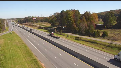

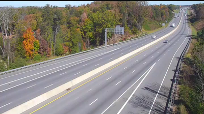
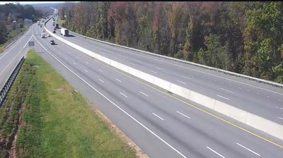

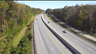


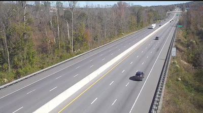

Grover occupies gently rolling Piedmont country in Cleveland County, North Carolina, close to the South Carolina line and the isolated rise of Kings Mountain. The town takes its name from President Grover Cleveland, recalling the late-19th-century period in which it developed. Its setting is quieter than the region’s larger urban centres, yet it belongs to the historic Kings Mountain area, where the 1780 Battle of Kings Mountain became a turning point in the American Revolution. See how Grover fits within Cleveland County and the Carolina borderlands by browsing webcams nearby.
8 webcams
Among the regions of the United States, North Carolina stands out for its sweep from the Blue Ridge Mountains across the Piedmont to the Atlantic’s barrier islands. The coordinates lie in the central Piedmont, where rolling, wooded terrain and growing communities link the mountain country with the coastal plain. To the west, the Blue Ridge Parkway follows the Appalachian highlands; eastward, the Outer Banks form a long sandy edge facing the Atlantic. North Carolina holds an enduring place in aviation history: the Wright brothers made the first successful powered flight near Kitty Hawk in 1903. Barbecue traditions and university towns add further character to this state of distinct regions. Discover North Carolina in its wider Southeastern setting by browsing webcams in nearby areas.
58 webcams
The Atlantic, Pacific and Gulf coasts define much of the United States — their ports, fisheries and trade routes have long tied the country’s economy to the wider world. Between them, the Rocky Mountains, Great Plains and Mississippi River basin form sharply different regions, from high western ranges to broad agricultural heartlands. Cities carry much of the national story: New York’s Statue of Liberty, a gift from France dedicated in 1886, remains an enduring symbol, while Washington, DC concentrates major federal institutions. Indigenous nations have shaped these lands for millennia, and their living cultures remain essential to the country’s identity. Find related webcams in the surrounding areas to build a fuller picture of the United States.
32K webcams