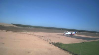
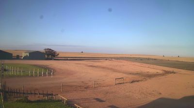
 Goroka: YLOX - Loxton -> Facing South-West
The Murray River defines the setting of Loxton — its broad valley supports the irrigated farms, vineyards and citrus groves that shape this South Australian Riverland town. Loxton stands on the river’s southern side, amid a largely level agricultural district where water management has long directed settlement and land use. The Riverland is an important Australian horticultural region, with grapes and fruit central to local production. Loxton Historical Village records aspects of pioneer life through preserved buildings, machinery and domestic objects. The close relationship between the river, orchards and open farmland gives Loxton a distinct regional identity.
Generated by AI




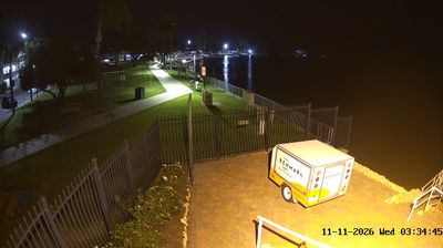

The Papua New Guinea Highlands define the setting of Goroka — elevated valleys and surrounding ridges give this provincial capital a cooler climate than the country’s coastal lowlands and support coffee cultivation. In Eastern Highlands Province, Goroka is an important commercial and administrative centre for communities across the interior. It is best known internationally for the Goroka Show, a long-running cultural gathering in which groups from around Papua New Guinea present sing-sing performances, dress and dance. The town is also home to the University of Goroka, a major teacher-education institution. Browse other webcams across Papua New Guinea’s Highlands to place this setting in a wider geographic context.
2 webcams
Eastern Highlands is best known within Papua New Guinea for its highland coffee cultivation. This inland province occupies part of the country’s mountainous interior, where farmed valleys and small towns sit between steep, heavily vegetated ridges. The Lamari River is a major regional waterway, flowing south towards the Purari basin. Goroka, the provincial capital, is closely associated with the annual Goroka Show, when communities from around Papua New Guinea gather to present dance, music and ceremonial dress. Kainantu is another important centre for nearby coffee-growing districts. View additional webcams nearby to better understand how the Eastern Highlands relate to Papua New Guinea’s central highlands.
7 webcams
Among the nations of Oceania, Papua New Guinea stands out for its exceptional linguistic diversity, with more than 800 indigenous languages spoken across its communities. The country occupies the eastern half of New Guinea and includes many islands, where the Owen Stanley Range rises behind the south-eastern coast and the Sepik River winds through the north. Port Moresby is the capital, while Mount Wilhelm is the country’s highest mountain. Ceremonial traditions, carved art and elaborate masks remain important expressions of community identity, notably in the Sepik region. Its rugged terrain has long made travel between places more complex than maps suggest. View additional webcams nearby to better understand how Papua New Guinea and the wider Melanesian region relate to their surroundings.
38 webcams