 George Town: George Town Airport
George Town has served as a port settlement at the mouth of the Tamar River in northern Tasmania since the early 19th century. George Town Airport lies in open farming country beyond the town, where a modest runway is bordered by pasture and a low tree line. The district is shaped by the Tamar estuary and the Bass Strait coast rather than dense urban development. Settled in 1804, George Town is among Tasmania’s earliest European settlements. Nearby Low Head, with its lighthouse and former pilot station, recalls the river’s long importance to shipping. The airfield forms a quiet rural counterpoint to this maritime heritage and to industrial port activity farther up the Tamar.
Generated by AI




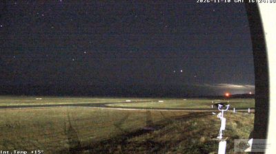
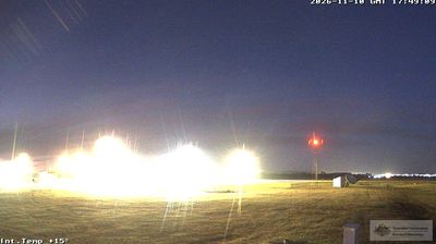
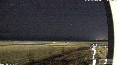

George Town combines a working maritime character with a quiet historic streetscape in a way that reflects its position at the mouth of Tasmania’s Tamar River. On the river’s eastern bank, the town faces the broad Tamar estuary before it reaches Bass Strait, linking northern Tasmania with the sea. Founded in 1804, George Town is regarded as one of Australia’s earliest European settlements. Nearby Low Head marks the northern side of the river entrance; its lighthouse, first lit in 1833, remains a familiar coastal landmark. The town also provides a base for exploring the Tamar Valley’s vineyards and the beaches and headlands of the north coast. Continue to other webcams in Tasmania to compare coastal and river settings around the Tamar estuary.
4 webcams
Among Australia’s regions, Tasmania stands out for its island setting south of Bass Strait and its large tracts of protected wilderness. Rugged mountain country, temperate rainforest and a deeply indented coastline give the state a character distinct from mainland Australia. Cradle Mountain–Lake St Clair National Park forms part of the Tasmanian Wilderness World Heritage Area, while Lake St Clair lies among the Central Highlands. On the Tasman Peninsula, Port Arthur preserves one of Australia’s best-known former convict settlements and is included in the UNESCO-listed Australian Convict Sites. Trace Tasmania’s place between Bass Strait and the Southern Ocean by browsing webcams nearby.
81 webcams
Australia’s terrain extends from tropical rainforests in the northeast to arid plains in the interior, producing dramatic climatic contrasts. The Great Dividing Range follows much of the eastern coast, while the Great Barrier Reef lies off Queensland in the Coral Sea and Uluru rises from the central desert. Aboriginal and Torres Strait Islander peoples maintain living cultures whose connections to Country long predate European settlement. In Sydney, the sail-like Opera House, completed in 1973, stands beside one of the world’s best-known harbours. Discover further points of interest through webcams located across Australia.
1.7K webcams