 Geislingen an der Steige: Ev. Gemeinde Pfarramt Stadtkirche II - Geislingen
Geislingen an der Steige lies along the Fils, where a narrow valley is enclosed by the steep escarpments of the Swabian Alb. The Evangelical Stadtkirche and its parish buildings belong to the compact historic centre, whose red-tiled roofs reflect the town’s long-established urban fabric. Geislingen developed at the foot of the old Steige route, the ascent from the Fils valley towards the Alb plateau. It also became an important industrial town: Württembergische Metallwarenfabrik, better known as WMF, was founded here in 1853 and made the name Geislingen familiar far beyond the region. Streets, railway connections and valley-side neighbourhoods still share a confined setting shaped by the surrounding uplands.
Generated by AI
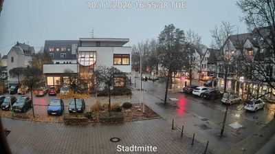


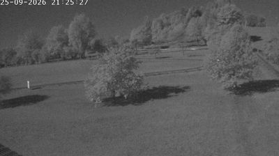

Tucked into the Fils valley beneath the Swabian Alb escarpment, Geislingen an der Steige is a town whose character is shaped by the steep route rising from its compact centre toward the plateau. The Fils runs through this eastern Baden-Württemberg setting, where the Alb’s limestone uplands meet a narrower industrial valley. Geislingen’s name refers to the historic Steige, the ascent that long made the town an important stop on the road across the Alb. Industry remains central to its identity: Württembergische Metallwarenfabrik (WMF), founded here in 1853, made Geislingen internationally known for metalware. Paths and rail links connect the valley with the higher Alb terrain, while the old centre retains the scale of a settlement shaped by a demanding mountain crossing. Browse other webcams across Baden-Württemberg and the Swabian Alb to place this setting in a wider geographic context.
1 webcam
Baden-Württemberg is best known within Germany for the Black Forest, the wooded upland region that shapes much of the state’s southwest. Its terrain also reaches from the Upper Rhine plain and its wine-growing areas to the limestone ridges of the Swabian Jura, while Lake Constance marks part of the southern frontier. Stuttgart, the state capital, is closely tied to the automobile industry and hosts the Mercedes-Benz Museum and Porsche Museum. Heidelberg’s old town and castle add another important strand to the region’s identity, alongside renowned universities, spas and regional cooking. Find related webcams in the surrounding area to build a fuller picture of Baden-Württemberg.
452 webcams
Germany stretches from the North Sea and Baltic Sea coasts to the Alps on its southern border, encompassing northern plains, river valleys and forested uplands. The Rhine, Danube and Elbe have long connected its regions, while the Black Forest and Bavarian Alps give the south a more dramatic relief. Berlin’s Brandenburg Gate and Museum Island reflect the capital’s role in German history and culture. Cologne Cathedral, a UNESCO World Heritage Site, rises above the Rhine, and the Bauhaus movement, founded in Weimar in 1919, transformed modern design far beyond Germany. Regional cooking, Christmas markets and brewing traditions bring further character to daily life. Browse additional webcams from the surrounding area to extend your view of Germany.
2.1K webcams