 Gausvika: Tjeldsundbrua vest
Gausvik is best known in northern Norway for its proximity to the Tjeldsund Bridge on the E10. Set beside the narrow Tjeldsundet strait, the settlement belongs to the coastal landscape of northern Hinnøya, Norway’s largest island. The 1,007-metre suspension bridge, opened in 1967, carries the E10 across Tjeldsundet to the mainland and created a permanent road link across this important waterway. This stretch of road forms part of the principal overland route to the Lofoten archipelago. Low wooded slopes, rocky shoreline and open water give Gausvik a distinctly maritime setting, while the bridge remains a notable work of post-war Norwegian transport engineering.
Generated by AI

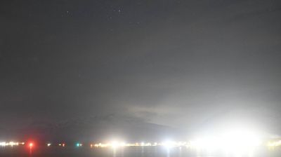

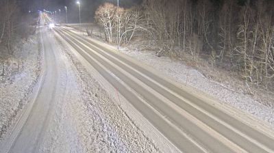
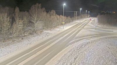

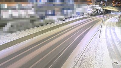
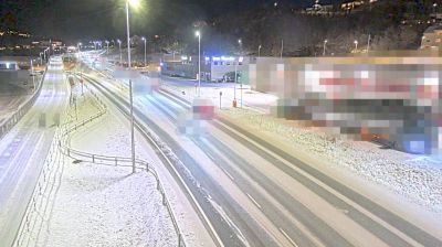

Gausvik sits on Tjeldsundet in Norway’s Troms region, where the strait separates Hinnøya from Tjeldøya and connects the waters around Ofoten and Vågsfjorden. The settlement lies north of Harstad along the E10, in a coastal district defined by islands, narrow channels and rapidly changing northern light. Gausvik is also associated with Gausvik fort, a German-built coastal battery from the Second World War; its surviving installations recall the strategic role of this sea passage. Summer brings long daylight at this high latitude, while clear winter nights can bring aurora displays. Browse other webcams across Troms to place this strait-and-island setting in a wider geographic context.
2 webcams
Troms occupies a mountainous Arctic coastal and inland area in northern Norway, well above the Arctic Circle. Deep fjords cut into a terrain of islands, broad valleys and rugged high ground, while the Lyngen Alps rise beside Lyngenfjord in the east of the region. Tromsø, the largest city in northern Norway, is an important centre for Arctic research, education and culture. Sámi heritage is also an essential part of Troms, reflected in place names, reindeer husbandry and living traditions across the north. Explore additional webcams nearby to understand how Troms connects with northern Norway’s fjords, mountains and islands.
96 webcams
Norway has served as a seafaring link between the North Atlantic and northern Europe since the Viking Age. Its long coastline is cut by fjords, while the Lofoten archipelago rises sharply from the Norwegian Sea and the mountains of Jotunheimen include Galdhøpiggen, Norway’s highest peak. Bergen’s Bryggen, the former Hanseatic wharf, recalls centuries of maritime trade. Farther north, Sámi culture remains an essential part of the country’s identity. Explore nearby webcam locations that provide complementary perspectives on Norway’s coast, fjords and mountain regions.
1.5K webcams