 Garðabær: Ártúnsbrekka
Faxaflói defines the setting of Engidalur in Hafnarfjörður — the broad bay and lava-strewn ground of Iceland’s southwest coast shape this urban edge south of Reykjavík. Engidalur is a major road junction in Hafnarfjörður, where multi-lane approaches link low-rise business areas, housing and open lava terrain. Hafnarfjörður developed around a sheltered natural harbour and was an important trading port for centuries. Its old harbour district remains central to local identity, while streets extend across the dark, irregular lava fields that distinguish this part of the Reykjanes Peninsula. This is a practical metropolitan setting where the coast, basalt landscape and Reykjavík urban area meet.
Generated by AI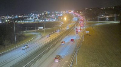
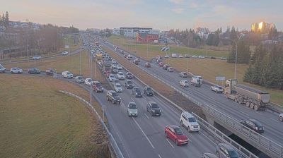
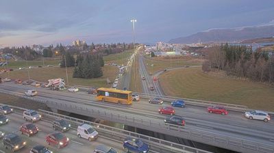

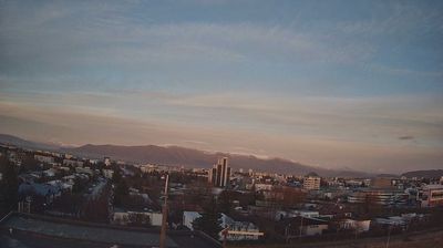

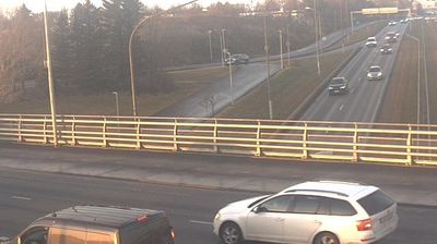
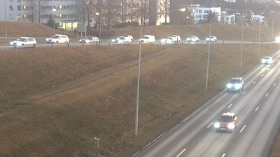

Around Garðabær, low lava terrain slopes toward Faxaflói Bay, a setting that has shaped both the town’s low-rise form and its close economic ties to metropolitan Reykjavík. Part of Iceland’s Capital Region, it is largely residential, though the volcanic origins of the Reykjanes Peninsula remain evident in the ground beneath its neighbourhoods. Álftanes extends toward the bay within the municipality and is home to Bessastaðir, the official residence of Iceland’s president. Garðabær also includes Hofsstaðir, an archaeological site where excavations uncovered a substantial Viking-Age longhouse associated with an early farmstead. Continue exploring other locations across the Capital Region to compare lava-field suburbs with the coast around Garðabær.
1 webcam
Capital Region has served as Iceland’s administrative and cultural heartland within the country since the mid-19th century. Centered on Reykjavík and its neighbouring municipalities, it occupies the shore of Faxaflói Bay, where low lava-built ground meets the North Atlantic. Reykjavík is Iceland’s largest urban area and the home of Alþingi, the national parliament, which has met in the city since 1845. Hallgrímskirkja and Harpa concert hall define a compact capital whose museums, geothermal pools and harbour life connect contemporary Iceland with maritime traditions. Beyond the urban coast, the wider area reaches toward the volcanic terrain of the Reykjanes Peninsula. Find related webcams in the surrounding area to build a fuller picture of Iceland’s Capital Region.
64 webcams
Iceland occupies a volcanic North Atlantic island on the Mid-Atlantic Ridge, between Europe and North America. Glaciers, black-sand shores and active geothermal areas form a terrain in constant dialogue with the weather; Vatnajökull is Europe’s largest glacier by volume. The Golden Circle links Þingvellir National Park, the Geysir geothermal area and Gullfoss waterfall, while Reykjavík concentrates much of the country’s contemporary culture and design. At Þingvellir, the Alþingi first assembled in 930. Fishing, wool knitwear and geothermal energy remain central to Icelandic life. Find related webcams in the surrounding area to build a fuller picture of Iceland.
655 webcams