 Garbatka-Letnisko: Widok na żywo na skwer
The landscape around Garbatka-Letnisko is low-lying and forested, which has shaped both the built environment and local life. Set in the southern part of Masovian Voivodeship, the settlement is associated with the wooded country of Puszcza Kozienicka, a large forest complex of central-eastern Poland. Its name, Letnisko, recalls its development as a holiday resort, while the centre retains the scale of a settled local community, with tree-lined streets, low-rise buildings and carefully planted public space. Garbatka-Letnisko is also home to the Zespół Szkół Drzewnych i Leśnych, whose teaching in woodworking and forestry reflects the enduring importance of timber skills in the area. Formal green areas provide a focal point for everyday local life.
Generated by AI

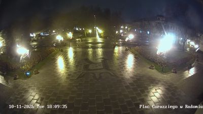
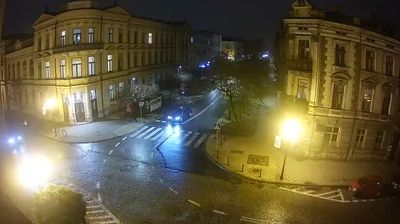
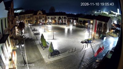

Garbatka-Letnisko is best known within Masovian Voivodeship for its long-established school specialising in woodworking and forestry. The settlement stands beside the Kozienice Forest, an extensive woodland area in south-eastern Mazovia that gives the locality its distinctly forested setting. Its name includes the Polish word for a summer resort, reflecting a tradition of seasonal stays among the pines. Zespół Szkół Drzewnych i Leśnych remains an important local institution and lends Garbatka-Letnisko an unusual educational character. The railway line between Radom and Dęblin also serves the town. Explore nearby webcam locations that provide complementary perspectives on Garbatka-Letnisko and the Kozienice Forest.
1 webcam
Masovian Voivodeship combines the metropolitan momentum of Warsaw with the open character of river plains in a way that reflects its position within Poland’s central lowlands. The Vistula runs through the region and past the capital, whose historic centre was rebuilt after the Second World War and is listed by UNESCO. Beyond Warsaw, Masovia spreads into farmland, woodland and smaller towns, with the Bug and Narew among the waterways shaping its eastern and northern reaches. This is Poland’s political centre, but regional customs also endure in local food, music and seasonal events. Explore nearby locations that provide complementary perspectives on Masovia.
36 webcams
Poland stretches from the Baltic Sea coast in the north to the Carpathian Mountains along its southern frontier, encompassing broad lowlands, lake districts and upland ranges. The Vistula, the country’s longest river, links Kraków and Warsaw before reaching the Baltic near Gdańsk, while the Masurian Lake District is defined by a dense network of lakes. Kraków’s historic centre, including Wawel Castle, recalls Poland’s former royal capital; Warsaw’s rebuilt Old Town speaks to the city’s recovery after the Second World War. The Białowieża Forest preserves one of Europe’s last primeval lowland forests and is home to European bison. Follow how Poland’s regions relate to one another by browsing webcams across the country.
718 webcams