 Frontenac Islands: Wolfe Island Ferry - Marysville Terminal (Summer)
King Township straddles the Oak Ridges Moraine in York Region, and its rolling uplands have preserved broad rural tracts beside the expanding Greater Toronto Area. Highway 400 runs north–south through the township near 16th Sideroad, forming a principal road connection between Toronto and Barrie. Woodlots, farms and low-density settlements define much of the land beyond this transport corridor. Incorporated in 1850, King Township includes King City, Nobleton and Schomberg, communities with roots in nineteenth-century settlement. The moraine is an important headwater landscape, feeding streams that flow toward Lake Ontario and Lake Simcoe.
Generated by AI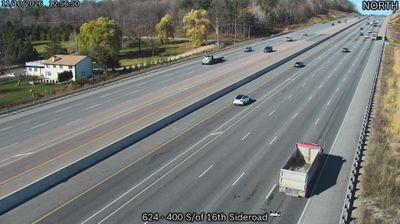





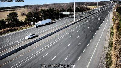
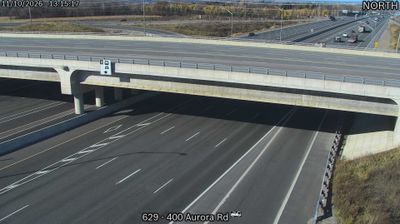
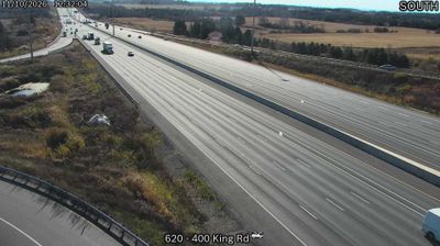


Among Ontario’s communities, Frontenac Islands stands out for a municipal territory dispersed across islands where Lake Ontario meets the St. Lawrence River. The township includes Wolfe Island, the largest island in the Thousand Islands region, as well as Howe Island in the river. A year-round ferry links Wolfe Island with Kingston, while rural roads pass farms, shorelines and the 86 turbines of the Wolfe Island Wind Project, commissioned in 2009. Life here is shaped by boating routes, agriculture and the changing conditions of two major waterways. Continue through nearby webcams to explore different parts of Frontenac Islands and eastern Ontario.
5 webcams
Built around the Great Lakes–St. Lawrence water system, Ontario grew into Canada’s most populous province. Its vast northern interior lies on the Canadian Shield, a terrain of exposed rock, boreal forest and innumerable lakes, while the south concentrates most cities and farms along the Great Lakes. Lake Superior, Lake Huron, Lake Erie and Lake Ontario give the province an exceptional freshwater horizon; Niagara Falls is its best-known natural landmark. Toronto, Ontario’s largest city, is a major cultural and economic centre, while Algonquin Provincial Park, founded in 1893, represents a long tradition of protected wilderness. Move on to other webcams in the region to compare landscapes and settings around Ontario.
1.6K webcams
Canada has served as a frontier between French and British colonial powers since the 17th century. The world’s second-largest country extends from Atlantic shores to the Pacific and Arctic coasts, with the Canadian Shield, the Rocky Mountains, the Great Lakes and the St. Lawrence River shaping its vast geography. First Nations, Inuit and Métis peoples are central to Canada’s identity, while Ottawa’s Parliament Hill represents its federal political life. French remains the official language of Quebec, adding a distinct dimension to the country’s public culture. See how Canada connects across North America by browsing webcams in neighbouring regions.
3.5K webcams