 Fort Mitchell: I-71/I-75 at Buttermilk Pike
Built around a Civil War fortification, Fort Mitchell grew into a suburban city in northern Kentucky. The community takes its name from Fort Mitchel, a Union post established in 1862 as part of Cincinnati’s Civil War defences and named for General Ormsby M. Mitchel. It lies on the Kentucky side of the Ohio River within the Cincinnati metropolitan area, where rolling uplands rise from the river corridor. Interstate 71 and Interstate 75 run through Fort Mitchell, underlining its connection to a major north–south route. Residential streets, schools and local businesses now give the city its everyday character.
Generated by AI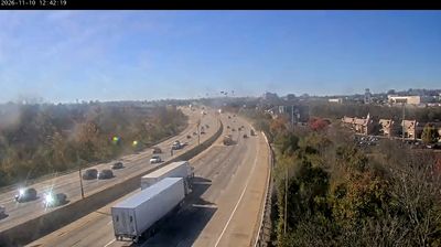
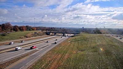
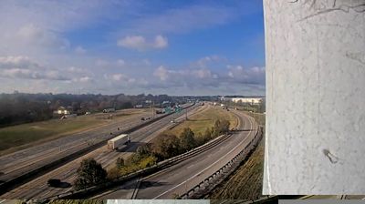
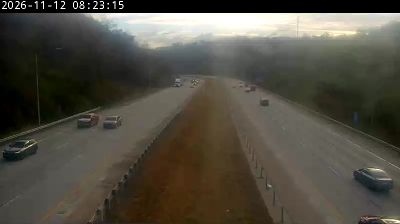

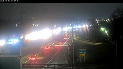
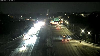
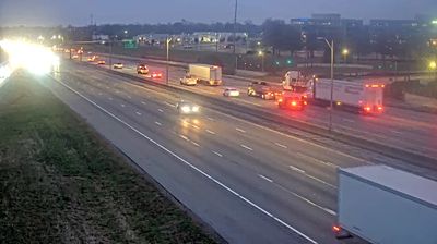

The Ohio River defines the setting of Fort Mitchell — on its Kentucky side, the city forms part of the Cincinnati metropolitan area while retaining Northern Kentucky’s rolling terrain. Its name recalls a Civil War fortification established in 1862 to help defend Cincinnati and named for Union general Ormsby M. Mitchel. Located in Kenton County along the I-71/I-75 corridor, Fort Mitchell combines established residential streets with easy connections to Covington and downtown Cincinnati. The community’s origins reflect the strategic importance of the Ohio River border during the Civil War and the later expansion of Northern Kentucky’s suburbs. Discover other points of interest through webcams located across Northern Kentucky.
2 webcams
The Ohio River and Kentucky’s rolling limestone terrain define much of Kentucky — they support farming, horse breeding and river-linked trade. Mammoth Cave, in the state’s south-central area, is part of the world’s longest known cave system, while the Cumberland Plateau gives eastern Kentucky a more rugged character. Bourbon distilling is closely associated with the state, and Louisville’s Churchill Downs has hosted the Kentucky Derby since 1875. From fertile Bluegrass country to forested uplands, Kentucky connects several distinct American landscapes. See how Kentucky fits within the wider American interior by browsing webcams nearby.
55 webcams
The Atlantic, Pacific and Gulf coasts define much of the United States — their ports, fisheries and trade routes have long tied the country’s economy to the wider world. Between them, the Rocky Mountains, Great Plains and Mississippi River basin form sharply different regions, from high western ranges to broad agricultural heartlands. Cities carry much of the national story: New York’s Statue of Liberty, a gift from France dedicated in 1886, remains an enduring symbol, while Washington, DC concentrates major federal institutions. Indigenous nations have shaped these lands for millennia, and their living cultures remain essential to the country’s identity. Find related webcams in the surrounding areas to build a fuller picture of the United States.
32K webcams