 Fort Erie: QEW West of Thompson Road - Bound
The landscape around Fort Erie is a level lake plain at the eastern end of Lake Erie, which has shaped both the built environment and local life. The town occupies the point where the Niagara River leaves Lake Erie and begins its northward course toward Niagara Falls, opposite Buffalo, New York. Its riverfront has long been a crossing and trading corridor: the Peace Bridge links Fort Erie with Buffalo, while nearby Old Fort Erie recalls the War of 1812 and the siege fought here in 1814. Away from the water, broad roads, low-rise neighbourhoods and commercial strips spread across the flat terrain. Fort Erie is part of the Niagara Region, where the international border remains central to daily movement and local identity.
Generated by AI


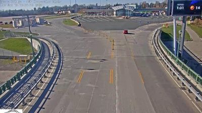
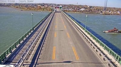
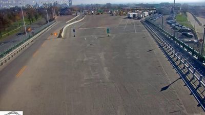


Fort Erie occupies the Canadian bank of the Niagara River where it leaves Lake Erie in southern Ontario. Across the water lies Buffalo, New York, and the Peace Bridge carries road traffic between the two countries, making the town an important border crossing. Old Fort Erie preserves the site of a British fort first built in 1764; it was the scene of the 1814 siege and Battle of Fort Erie during the War of 1812. The riverfront and nearby Lake Erie shoreline give the community its open, waterside character, while local history is inseparable from the international frontier. Browse other webcams across Ontario’s Niagara region to place this setting in a wider geographic context.
10 webcams
Built around the Great Lakes–St. Lawrence water system, Ontario grew into Canada’s most populous province. Its vast northern interior lies on the Canadian Shield, a terrain of exposed rock, boreal forest and innumerable lakes, while the south concentrates most cities and farms along the Great Lakes. Lake Superior, Lake Huron, Lake Erie and Lake Ontario give the province an exceptional freshwater horizon; Niagara Falls is its best-known natural landmark. Toronto, Ontario’s largest city, is a major cultural and economic centre, while Algonquin Provincial Park, founded in 1893, represents a long tradition of protected wilderness. Move on to other webcams in the region to compare landscapes and settings around Ontario.
1.6K webcams
Canada has served as a frontier between French and British colonial powers since the 17th century. The world’s second-largest country extends from Atlantic shores to the Pacific and Arctic coasts, with the Canadian Shield, the Rocky Mountains, the Great Lakes and the St. Lawrence River shaping its vast geography. First Nations, Inuit and Métis peoples are central to Canada’s identity, while Ottawa’s Parliament Hill represents its federal political life. French remains the official language of Quebec, adding a distinct dimension to the country’s public culture. See how Canada connects across North America by browsing webcams in neighbouring regions.
3.5K webcams