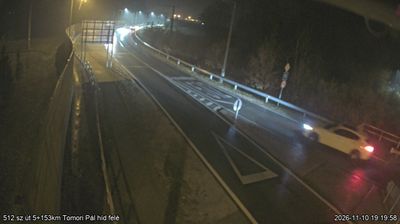
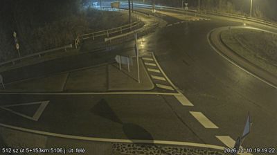
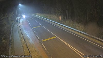
 Fokto: Foktő, 512. sz. út -> Kalocsa
The Danube defines the setting of Foktő — its broad floodplain margins and the level terrain of Hungary’s southern Great Plain shape this small settlement east of the river. Foktő belongs to the Kalocsa area in Bács-Kiskun County, a district long associated with paprika cultivation, a defining ingredient of Hungarian cooking. The village stands amid agricultural land and a network of roads linking riverside communities with Kalocsa and the wider plain. Rather than a historic urban centre, Foktő has the open-grained character of a working lowland settlement, where transport routes, fields and the Danube corridor set the rhythm of daily life.
Generated by AI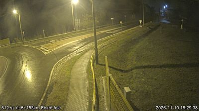

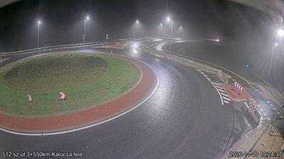

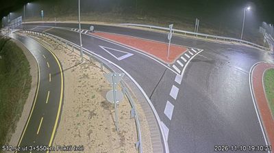

Foktő stands on a low Danube floodplain, where flat, fertile ground and waterside habitats have shaped both the settlement pattern and local farming. The village lies in Bács-Kiskun County, just west of Kalocsa, close to the river’s eastern bank. The Danube is not merely a line on the map here: its floodplain supports fields, meadows and riverside woodland, while the surrounding plain gives Foktő an open, agricultural character. This is a quiet part of southern Hungary’s Great Plain, with village life set beside one of Central Europe’s major rivers. Nearby Kalocsa is associated with paprika cultivation, folk embroidery and the seat of a Roman Catholic archdiocese. Explore nearby webcam locations that provide complementary perspectives on Foktő, Kalocsa and the Danube floodplain.
9 webcams
Built around the Tisza River basin and the trading routes of the Great Hungarian Plain, Great Plain and North developed into a broad region where open farmland meets Hungary’s northern hills. The Tisza and its floodplain have long influenced settlement and agriculture, while the plains retain the puszta character associated with horse breeding and herding. Hortobágy National Park, Hungary’s first national park and a UNESCO World Heritage site, safeguards a cultural landscape of grassland, wetlands and traditional pastoral use. Farther north, the terrain rises toward the country’s mountain districts. Continue with other webcams from the area to see how this part of Hungary connects between the plain and northern uplands.
274 webcams
Hungary combines a long urban tradition with expansive lowland horizons in a way that reflects its position within the Carpathian Basin. The Danube runs through Budapest, separating the hills of Buda from the grand boulevards of Pest, where the Hungarian Parliament Building stands on the riverbank. Beyond the capital, the Great Hungarian Plain shapes much of the east, while Lake Balaton, Central Europe’s largest lake, draws summer visitors to its shores. Thermal bathing remains part of everyday life, and the Tokaj region is internationally known for its historic sweet wines. Explore nearby webcam locations that provide complementary perspectives on Hungary.
742 webcams