 Fludir: Pétursey
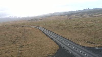
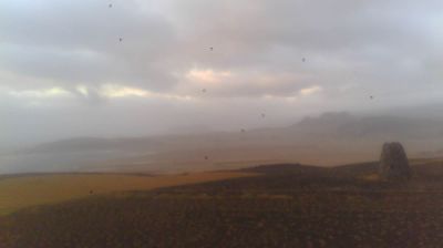
Pétursey combines a solitary volcanic prominence with a low-lying agricultural plain in a way that reflects its position on Iceland’s south coast. The isolated hill stands in the Mýrdalur district between the North Atlantic shore and Mýrdalsjökull, the ice cap covering the Katla volcanic system. Pétursey was once an island; sediment carried across the plain by glacial floods and rivers gradually joined it to the mainland. Iceland’s Route 1 passes through the area, forming part of the road connection between the farms and settlements of the south coast. The open terrain explains why travel and settlement have long followed this narrow band of coastal lowland.
Generated by AI




Among the settlements of Iceland’s Southern Region, Flúðir stands out for the geothermal heat that shapes everyday life, from hot-water bathing to greenhouse cultivation. The village lies in the farming district of Hrunamannahreppur, where open lowlands meet an active geothermal zone. At Hverahólmi, the naturally heated waters of Gamla Laugin, also known as the Secret Lagoon, have been used for bathing since Iceland’s first swimming pool was built there in 1891. Flúðir is also a practical stop for travellers exploring the Golden Circle beyond the major sights. Continue with other webcams from the area to see how this part of the Southern Region connects with Iceland’s inland routes.
1 webcam
Iceland’s Southern Region extends from the Atlantic coast to the Vatnajökull ice cap, encompassing black-sand shores, glacial outwash plains and volcanic highlands. This broad part of the country is crossed by rivers descending from the interior, including the Þjórsá, Iceland’s longest river. Vatnajökull National Park protects extensive glacier and volcanic terrain, while the south coast bears the marks of eruptions, floods and ocean weather. Þingvellir, a UNESCO World Heritage Site, is where the Alþingi, Iceland’s parliament, first assembled in 930. Farms and small towns lie between mountains and sea, in a region where conditions can change rapidly. Continue through nearby webcams to explore different parts of Iceland’s Southern Region.
106 webcams
Iceland occupies a volcanic North Atlantic island on the Mid-Atlantic Ridge, between Europe and North America. Glaciers, black-sand shores and active geothermal areas form a terrain in constant dialogue with the weather; Vatnajökull is Europe’s largest glacier by volume. The Golden Circle links Þingvellir National Park, the Geysir geothermal area and Gullfoss waterfall, while Reykjavík concentrates much of the country’s contemporary culture and design. At Þingvellir, the Alþingi first assembled in 930. Fishing, wool knitwear and geothermal energy remain central to Icelandic life. Find related webcams in the surrounding area to build a fuller picture of Iceland.
655 webcams