 Fillan: Hitra
The island of Hitra defines the setting of Fillan — low, rocky ground, heath and sheltered inlets give this Trøndelag locality a distinctly maritime character. Fillan is the administrative centre of Hitra Municipality, on an island off Norway’s central coast where roads link settlements across a shore broken by bays and smaller islands. The Trondheimsleia strait runs along Hitra’s northern side, connecting these coastal waters with the approaches to Trondheim. Fishing and aquaculture are central to the local economy, while the medieval stone church at Dolm on Hitra recalls the island’s long-established coastal communities. Fillan is less a compact urban destination than a practical centre for an inhabited island landscape.
Generated by AI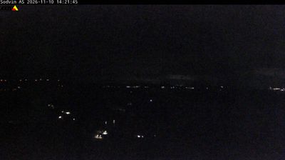
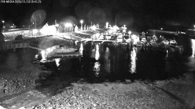
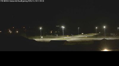

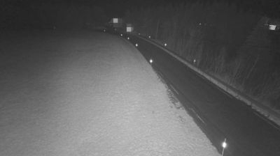
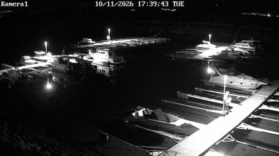



The landscape around Fillan is low, sea-cut island terrain of heath, rock and sheltered inlets, which has shaped both the settlement pattern and a local economy centred on fishing and aquaculture. Fillan is the administrative centre of Hitra municipality, on Hitra island off the Trøndelag coast. The island lies beside the waters of Trondheimsleia, a major coastal passage linking the Norwegian Sea with Trondheimsfjord. Seafood production remains important here, while Hitra’s maritime traditions are carried in everyday working life rather than monumental urban architecture. Roads across the island connect small settlements, farms and shoreline industries, making Fillan a useful base for understanding this outward-looking part of central Norway. Browse additional webcams from the surrounding coast to extend your view of Hitra and Trøndelag.
1 webcam
Trøndelag occupies a broad coastal and inland region in central Norway. Trondheim Fjord reaches deep into the land, linking farming districts, wooded hills and settlements around Trondheim, the region’s historic and cultural centre. The city was an important medieval pilgrimage destination and is home to Nidaros Cathedral, Norway’s national sanctuary and one of the country’s foremost Gothic monuments. Farther inland, valleys and upland areas lead towards the Scandinavian Mountains, while the coast breaks into islands, channels and sheltered bays. Browse other webcams across Trøndelag to place this central Norwegian setting in a wider geographic context.
119 webcams
Norway has served as a seafaring link between the North Atlantic and northern Europe since the Viking Age. Its long coastline is cut by fjords, while the Lofoten archipelago rises sharply from the Norwegian Sea and the mountains of Jotunheimen include Galdhøpiggen, Norway’s highest peak. Bergen’s Bryggen, the former Hanseatic wharf, recalls centuries of maritime trade. Farther north, Sámi culture remains an essential part of the country’s identity. Explore nearby webcam locations that provide complementary perspectives on Norway’s coast, fjords and mountain regions.
1.5K webcams