 Fargo: North Dakota, United States
Fargo lies along the Red River, where the broad, almost level Red River Valley gives North Dakota’s largest city its open, low-rise horizon. Across the water, Moorhead, Minnesota, forms the other half of a metropolitan area connected by river crossings and interstate routes. The valley’s deep, fertile soils have long tied Fargo to the grain-growing country around it, while the city has developed into a regional centre for education, health care and business. Downtown, the Fargo Theatre opened in 1926 and remains a noted Art Deco landmark, its neon sign a familiar emblem of the city’s cultural life. North Dakota State University adds a major campus presence on Fargo’s north side.
Generated by AI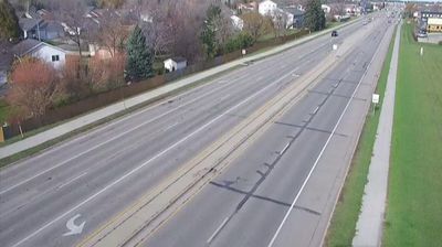





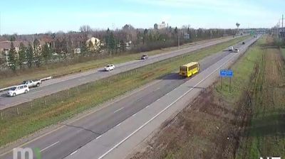

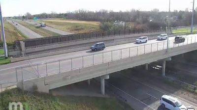


Fargo occupies the western bank of the Red River of the North in eastern North Dakota. Together with Moorhead, Minnesota, directly across the river, it forms a metropolitan area shaped by the broad, level Red River Valley and its long agricultural tradition. Fargo is North Dakota’s largest city and an important regional centre for business, education and healthcare. North Dakota State University gives the city a strong college presence, while downtown’s Fargo Theatre, opened in 1926, is recognised for its Art Deco façade and illuminated marquee. Discover other points of interest through webcams located across Fargo and North Dakota.
2 webcams
North Dakota is best known within the United States for Theodore Roosevelt National Park’s eroded Badlands. Across the state, prairie, rolling plains and broad agricultural country are cut by the Missouri River, whose impoundment forms Lake Sakakawea, one of the nation’s largest reservoirs. Bismarck, the state capital, stands on the river’s east bank, while Knife River Indian Villages National Historic Site preserves an important landscape of Mandan, Hidatsa and Arikara history. Farther west, the Little Missouri River shapes the badlands associated with Theodore Roosevelt’s ranching years. Discover other points of interest through webcams located across North Dakota.
24 webcams
The Atlantic, Pacific and Gulf coasts define much of the United States — their ports, fisheries and trade routes have long tied the country’s economy to the wider world. Between them, the Rocky Mountains, Great Plains and Mississippi River basin form sharply different regions, from high western ranges to broad agricultural heartlands. Cities carry much of the national story: New York’s Statue of Liberty, a gift from France dedicated in 1886, remains an enduring symbol, while Washington, DC concentrates major federal institutions. Indigenous nations have shaped these lands for millennia, and their living cultures remain essential to the country’s identity. Find related webcams in the surrounding areas to build a fuller picture of the United States.
32K webcams