 Fallon: Rockwood Place - Trento Lane - Old Lincoln Highway
Fallon sits in the Lahontan Valley of western Nevada, where the Carson River’s irrigation network supports a settled agricultural basin within the Great Basin desert. Old Lincoln Highway runs through the city’s western commercial and industrial edge alongside Rockwood Place and Trento Lane, with broad transport corridors and rail infrastructure reflecting Fallon’s role as a service centre for Churchill County. The road’s name recalls the Lincoln Highway, the transcontinental automobile route established in 1913. Downtown Fallon is the county seat, while irrigated fields, ranches and Naval Air Station Fallon shape the wider valley.
Generated by AI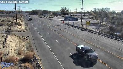

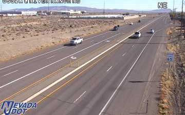
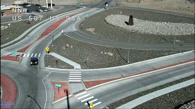
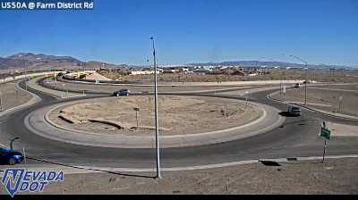
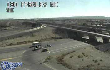
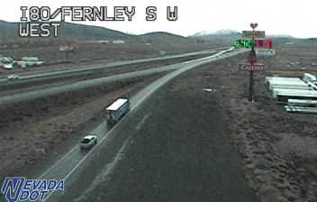
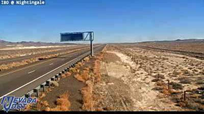

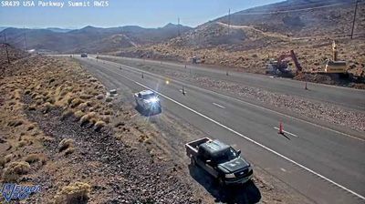

Tucked into Nevada’s Lahontan Valley, Fallon is a place whose character is shaped by irrigated farmland in a high-desert basin. The Carson River and the Newlands Project helped establish agriculture here, giving the town its long-used nickname, the Oasis of Nevada. Alfalfa fields and cantaloupe production remain part of the local identity, celebrated at the annual Fallon Cantaloupe Festival and Country Fair. Nearby Naval Air Station Fallon is home to the U.S. Navy’s Strike Fighter Tactics Instructor program, widely known as TOPGUN. Browse additional webcams nearby to see how Fallon’s cultivated valley relates to Nevada’s surrounding desert.
2 webcams
Nevada occupies an inland basin-and-range expanse in the western United States. Much of the state lies within the Great Basin, where long, dry valleys alternate with north–south mountain ranges and the Humboldt River crosses the northern interior. The Sierra Nevada forms part of its western edge, while the Colorado River marks much of the southeastern border. Nevada’s modern identity was shaped by mining: the 1859 Comstock Lode silver discovery near Virginia City helped fuel rapid development in the American West. Today, vast public lands, desert highways, ranching country and major cities such as Las Vegas give the state strikingly varied character. Browse other webcams across Nevada to place this setting in a wider geographic context.
476 webcams
The Atlantic, Pacific and Gulf coasts define much of the United States — their ports, fisheries and trade routes have long tied the country’s economy to the wider world. Between them, the Rocky Mountains, Great Plains and Mississippi River basin form sharply different regions, from high western ranges to broad agricultural heartlands. Cities carry much of the national story: New York’s Statue of Liberty, a gift from France dedicated in 1886, remains an enduring symbol, while Washington, DC concentrates major federal institutions. Indigenous nations have shaped these lands for millennia, and their living cultures remain essential to the country’s identity. Find related webcams in the surrounding areas to build a fuller picture of the United States.
33K webcams