 Enontekio: Tie 956 Enontekiö, Peltovuoma - Peltovuomaan
Enontekiö combines deep remoteness with a living Sámi heritage in a way that reflects its position in Finland’s far north. This vast municipality reaches the borders of Sweden and Norway and includes Halti, where Finland’s highest point lies. The Muonio River forms much of the Swedish frontier, while the Ounasjoki has its headwaters in Enontekiö. Fells, mires, forests and lakes dominate a territory with few permanent settlements. Hetta is the municipal centre, beside Lake Ounasjärvi and close to Pallas-Yllästunturi National Park. Sámi languages and reindeer herding remain integral to local life, giving this corner of Lapland a distinct cultural identity.
Generated by AI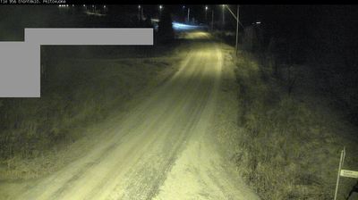


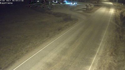

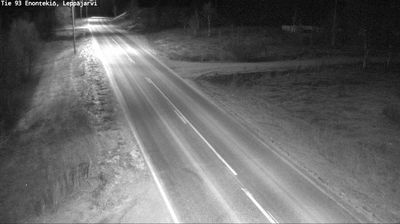

Enontekiö sits on the shore of Lake Ounasjärvi in Finnish Lapland, Finland, where birch woodland gives way to broad, treeless fells. Hetta, the municipality’s administrative centre, is a base for the Ounastunturi fells and the northern end of Pallas–Yllästunturi National Park, one of Finland’s largest protected areas. The municipality extends across a sparsely settled borderland close to Norway and Sweden, and forms part of the Sámi Homeland in Finland. Its far-northern setting shapes daily life, from winter darkness to summer’s lingering light. Discover nearby webcam locations presenting complementary perspectives on Enontekiö and Finnish Lapland.
23 webcams
Built around river valleys, reindeer husbandry and forestry, Lapland developed into Finland’s northernmost and largest region. Long winters, forests and rounded fells define its inland character, while the Kemijoki, Finland’s longest river, drains a large part of the area. Sámi culture is central to the north of the region; Finnish settlements have also long depended on woodland work and river routes. Rovaniemi, Lapland’s administrative centre, stands at the meeting of the Kemijoki and Ounasjoki and is home to the Arktikum science centre and museum. Explore nearby webcam locations that provide complementary perspectives on Finnish Lapland.
202 webcams
The terrain of Finland ranges from low coastal plains along the Gulf of Bothnia to fells in Lapland, creating a country of forests, lakes and long northern distances. More than 180,000 lakes shape everyday life, while the Lakeland region is threaded with waterways and islands. Helsinki, on the Gulf of Finland, combines neoclassical landmarks around Senate Square with contemporary Finnish design. Farther north, the Sámi are Finland’s only recognised Indigenous people, and their culture remains closely connected to the Arctic region. In winter, snow and ice transform the north; in summer, long daylight extends outdoor life well into the evening. Continue through nearby webcams to explore different parts of Finland.
1.7K webcams