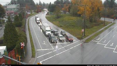
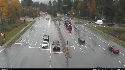
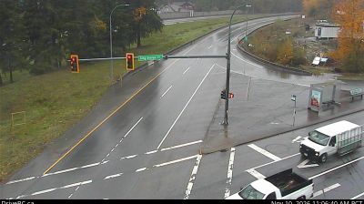
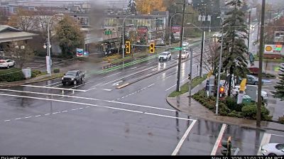
 Elgin: Highway 99 at King George Boulevard, looking west
Elgin occupies a lowland stretch of South Surrey in Metro Vancouver, British Columbia. The neighbourhood lies near the Nicomekl River, whose tidal lower course runs through marshes and farmland toward Boundary Bay. Highway 99 is the area’s principal north–south route, linking the Vancouver region with the Canada–US border and shaping the major interchanges at Elgin’s edge. Beyond this transport corridor, Elgin remains largely residential and wooded, with rural properties and parkland alongside newer suburban districts. The area stands on the traditional territory of the Semiahmoo First Nation, whose name is also carried by nearby Semiahmoo Bay and the peninsula.
Generated by AI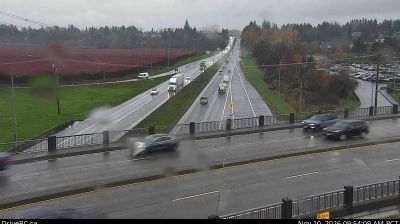



The landscape around Elgin is rolling, forested upland in northern Nova Scotia, which has shaped both its dispersed settlement pattern and a rural economy rooted in woodland and farmland. This small inland community lies south of the Northumberland Strait, the waterway separating mainland Nova Scotia from Prince Edward Island. Local roads link farms, woodlots and scattered homes rather than a dense town centre. The wider area carries a strong legacy of Scottish settlement, commemorated in Pictou by the 1773 arrival of the ship Hector. Continue with other webcams from northern Nova Scotia to see how Elgin connects with the Northumberland Strait country and neighbouring communities.
6 webcams
Built around Atlantic fisheries and seaborne trade, Nova Scotia grew into a maritime province whose communities remain closely tied to the water. Its peninsula and Cape Breton Island face the Atlantic, while the Bay of Fundy shapes much of the western coast and is known for some of the world’s highest tides. Halifax, the provincial capital, is home to the star-shaped Halifax Citadel National Historic Site, recalling the city’s strategic role as a harbour. Mi’kmaq culture is fundamental to the province’s identity, alongside Acadian and Gaelic traditions. Explore further points of interest through webcams across Nova Scotia.
89 webcams
Canada has served as a frontier between French and British colonial powers since the 17th century. The world’s second-largest country extends from Atlantic shores to the Pacific and Arctic coasts, with the Canadian Shield, the Rocky Mountains, the Great Lakes and the St. Lawrence River shaping its vast geography. First Nations, Inuit and Métis peoples are central to Canada’s identity, while Ottawa’s Parliament Hill represents its federal political life. French remains the official language of Quebec, adding a distinct dimension to the country’s public culture. See how Canada connects across North America by browsing webcams in neighbouring regions.
3.5K webcams