 Edertal: Peterskopf - Region Edersee
Edertal has served as a rural municipality in northern Hesse since 1971. Its scattered settlements extend around the Eder River and the Edersee, the long reservoir formed by the Eder Dam, completed in 1914. The municipality was created in a local-government reform that brought several formerly independent communities together. Much of the surrounding land belongs to the wooded Kellerwald, whose beech forests form part of Kellerwald-Edersee National Park and the UNESCO World Heritage beech-forest listing. Fields occupy gentler uplands, while indented shores and forested ridges give the area its distinctive form. The Edersee is a focus for boating, walking and cycling, linking the reservoir landscape with the agricultural country of north Hesse.
Generated by AI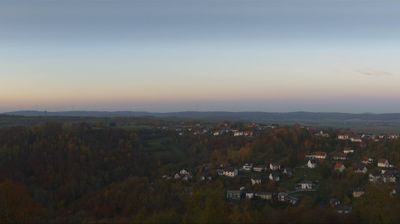
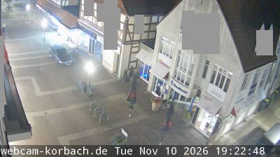
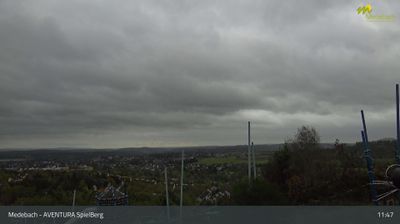
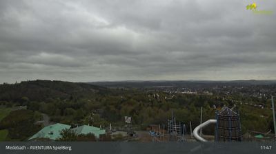
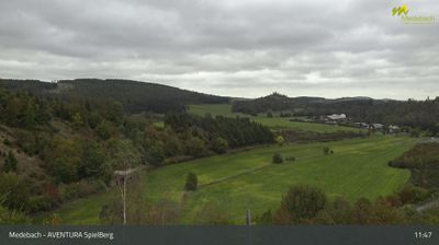
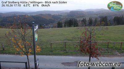

The Eder River and Edersee define the setting of Edertal — this Hesse municipality stretches through the river valley and near the reservoir’s eastern end, where wooded slopes, farmland and small settlements meet. Edersee was created by the Eder Dam, completed in 1914; the dam later became a wartime target during the RAF’s 1943 Dambusters raid. Nearby Kellerwald-Edersee National Park protects extensive beech forest and forms part of the UNESCO World Heritage-listed Ancient and Primeval Beech Forests of the Carpathians and Other Regions of Europe. Browse other webcams across Hesse to place this Eder valley setting in a wider geographic context.
1 webcam
Hesse has served as a cultural crossroads within central Germany since the Middle Ages. Its terrain runs from the wooded Taunus and Vogelsberg uplands to the Rhine and Main valleys, while the Lahn, Fulda and Eder shape other parts of the state. Frankfurt am Main provides a metropolitan counterpoint: its Römer city hall complex recalls a long civic tradition, and the Frankfurt Book Fair remains one of the world’s leading publishing events. Farther north, Kassel’s Bergpark Wilhelmshöhe is a UNESCO World Heritage site, noted for its designed landscape and monumental waterworks. Browse other webcams across Hesse to place this setting in a wider central German context.
148 webcams
Germany stretches from the North Sea and Baltic Sea coasts to the Alps on its southern border, encompassing northern plains, river valleys and forested uplands. The Rhine, Danube and Elbe have long connected its regions, while the Black Forest and Bavarian Alps give the south a more dramatic relief. Berlin’s Brandenburg Gate and Museum Island reflect the capital’s role in German history and culture. Cologne Cathedral, a UNESCO World Heritage Site, rises above the Rhine, and the Bauhaus movement, founded in Weimar in 1919, transformed modern design far beyond Germany. Regional cooking, Christmas markets and brewing traditions bring further character to daily life. Browse additional webcams from the surrounding area to extend your view of Germany.
2.8K webcams