Eastern Region
0 63.98°, -16.41° SW
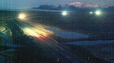
Eastern Region combines remote uplands with sharply cut fjords in a way that reflects its position between Iceland’s central highlands and the North Atlantic. Much of this wide, lightly populated part of Austurland is shaped by water: the Jökulsá á Brú crosses the interior towards Héraðssandar, while Lagarfljót runs beside Egilsstaðir, eastern Iceland’s main service town. Coastline settlements sit at the ends of long fjords rather than along a continuous shore. Fáskrúðsfjörður recalls the era of French fishing crews through its French street names and museum. Trace Eastern Region’s place in Iceland’s east by browsing webcams across neighbouring areas.
Generated by AI Nearby webcams