 East Vincent Township
 has served as a rural township in Chester County since its establishment in 1832. Its northern boundary follows the Schuylkill River, a major southeastern Pennsylvania waterway, while Pennsylvania Route 23 crosses the township as an important east–west corridor. The area combines crossroads businesses and newer housing with open fields, wooded land and older settlement patterns. Pennypacker Mills, the preserved home of former Pennsylvania governor Samuel W. Pennypacker, provides a direct link to the township’s civic history. Close to the river towns of Spring City and Royersford, East Vincent retains a distinctly semi-rural Chester County character.
Generated by AI
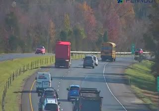
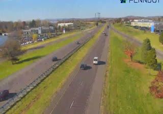

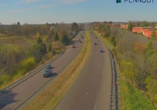
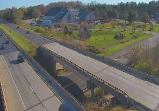
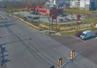
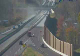
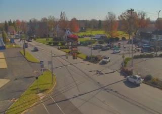
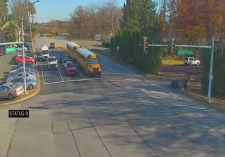

The landscape around East Vincent Township is rolling and predominantly rural along the Schuylkill River, which has shaped both settlement patterns and local agriculture. Set in Chester County, the township is part of southeastern Pennsylvania’s longtime farming country, with scattered homes, working land and small communities rather than a single urban centre. East Vincent took its present municipal form in 1836, when the former Vincent Township was divided into eastern and western townships. Parker Ford is among the local place names that recall the importance of river crossings in this part of the county. Continue with other webcams from the Schuylkill River corridor to see how this part of southeastern Pennsylvania connects regionally.
1 webcam
Pennsylvania stretches from the shore of Lake Erie to the Delaware River, encompassing Appalachian ridges, plateaus and broad river valleys. Near the state’s geographic centre, the West Branch Susquehanna and its tributaries run through forested country, while the main Susquehanna continues south towards Chesapeake Bay. Philadelphia gives Pennsylvania an enduring place in the story of the United States: Independence Hall was the setting for the adoption of the Declaration of Independence and the signing of the Constitution. Former industrial cities, Amish and Mennonite communities, farms and state forests reveal markedly different sides of the Commonwealth. Discover other points of interest through webcams located across Pennsylvania.
1.5K webcams
The Atlantic, Pacific and Gulf coasts define much of the United States — their ports, fisheries and trade routes have long tied the country’s economy to the wider world. Between them, the Rocky Mountains, Great Plains and Mississippi River basin form sharply different regions, from high western ranges to broad agricultural heartlands. Cities carry much of the national story: New York’s Statue of Liberty, a gift from France dedicated in 1886, remains an enduring symbol, while Washington, DC concentrates major federal institutions. Indigenous nations have shaped these lands for millennia, and their living cultures remain essential to the country’s identity. Find related webcams in the surrounding areas to build a fuller picture of the United States.
32K webcams