 East Hartford
Tucked along the east bank of the Connecticut River, East Hartford is a place whose character is shaped by the major transport corridors that cross central Connecticut. Interstate 84 runs through the town, while the junction with Interstate 384 and the nearby northern end of Route 2 make this a key road hub for Hartford, Manchester and the Connecticut River Valley. Residential neighbourhoods share the town with commercial and industrial land, set among wooded river-valley terrain. East Hartford separated from Hartford in 1783 and later became closely associated with aerospace manufacturing through Pratt & Whitney, which maintains a major presence here. Across the river, Hartford remains the region’s historic and administrative centre.
Generated by AI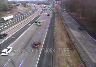


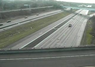
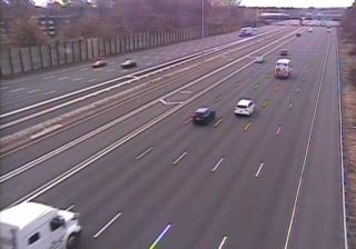
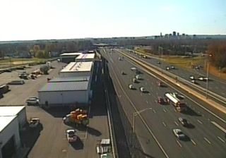
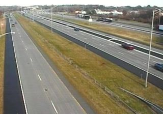
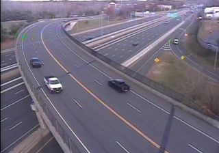

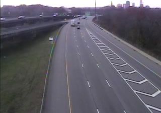

The Connecticut River frames East Hartford — the city occupies its eastern bank opposite Hartford, and bridges across the broad waterway shape daily regional connections. Incorporated in 1783 after separating from Hartford, East Hartford grew from a riverfront farming community into an industrial suburb. Aerospace remains central to its identity: Pratt & Whitney has long maintained major operations here, while the former Rentschler Field airfield site now includes Pratt & Whitney Stadium, home to University of Connecticut football. Great River Park brings trails and open lawns to the river’s edge. Browse further webcams throughout Connecticut to set this riverside city in a broader geographic context.
22 webcams
Connecticut combines a deep manufacturing heritage with a heavily wooded interior in a way that reflects its position within southern New England. The Connecticut River runs south through the state before entering Long Island Sound at Old Saybrook, linking inland towns with the tidal coast. Hartford became a major American insurance centre, while New Haven is home to Yale University, founded in 1701. Along the Sound, working harbours and long-established coastal communities contrast with the quieter hills and small towns farther inland. Browse nearby webcams to see Connecticut’s place in the wider New England region.
324 webcams
The Atlantic, Pacific and Gulf coasts define much of the United States — their ports, fisheries and trade routes have long tied the country’s economy to the wider world. Between them, the Rocky Mountains, Great Plains and Mississippi River basin form sharply different regions, from high western ranges to broad agricultural heartlands. Cities carry much of the national story: New York’s Statue of Liberty, a gift from France dedicated in 1886, remains an enduring symbol, while Washington, DC concentrates major federal institutions. Indigenous nations have shaped these lands for millennia, and their living cultures remain essential to the country’s identity. Find related webcams in the surrounding areas to build a fuller picture of the United States.
32K webcams