 Dundonald
 is best known in Northern Ireland for Dundonald Castle, the earthwork remains of a Norman motte-and-bailey stronghold. The settlement stands on Belfast’s eastern side between the city and Comber, with Belfast Lough to the north and the Castlereagh Hills inland. Its castle site recalls the Anglo-Norman reshaping of Ulster after the 12th-century invasion. Modern Dundonald is a built-up suburban centre linked with Belfast by the Upper Newtownards Road, while the Comber Greenway follows a former railway corridor towards the Ards Peninsula. Historic earthworks, housing and transport links give the area a distinctly metropolitan character.
Generated by AI
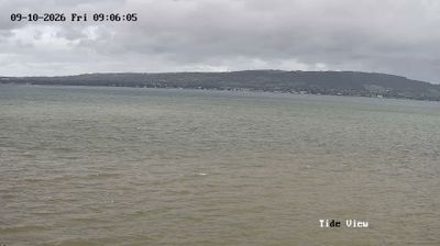
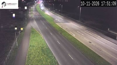


Dundonald is best known in Northern Ireland for the earthwork remains of Dundonald Castle, a late-12th-century Norman motte-and-bailey stronghold. The settlement lies east of Belfast, between the city and the shore of Belfast Lough, in a built-up corridor leading toward County Down. The castle site is traditionally linked to the Anglo-Norman commander John de Courcy, whose campaigns reshaped Ulster after 1177. Its steep motte and surrounding defensive earthworks preserve the outline of a medieval power centre, although no stone keep survives. Today Dundonald forms part of the Belfast urban area, with routes connecting it to the city, the lough shore and the Ards Peninsula. Browse other webcams across Belfast Lough and Northern Ireland to place this setting in a wider geographic context.
1 webcam
Northern Ireland combines a rugged Atlantic shoreline with fertile inland lowlands in a way that reflects its position within the northeastern part of the island of Ireland. Lough Neagh, the largest lake by area in the British Isles, lies near its centre, while the Mourne Mountains rise in the southeast and the Antrim Coast leads to the basalt columns of the Giant’s Causeway, a UNESCO World Heritage Site. Belfast, its largest city, is closely associated with the shipbuilding industry that built RMS Titanic. Irish and Ulster-Scots traditions remain important parts of local culture and place names. See how Northern Ireland connects with the island’s coasts, lakes and cities by browsing webcams nearby.
5 webcams
The United Kingdom combines long-established institutions with sharply varied regional identities in a way that reflects its position within northwestern Europe. England, Scotland, Wales and Northern Ireland share a state while retaining distinct traditions, languages and landscapes. The River Thames runs through London, where the Palace of Westminster and the Tower of London mark centuries of national life; Edinburgh’s Old and New Towns are UNESCO-listed. The Highlands, Eryri’s mountains and Atlantic-facing coasts contrast with the densely settled southeast. Football, theatre, pub culture and music remain everyday threads in a country with global cultural influence. View additional webcams nearby to better understand how the United Kingdom relates to its Atlantic and European surroundings.
1.3K webcams