 Duluth: MN 61: I-35 WB @ 24th Ave EB
Duluth rises from the western end of Lake Superior in northeastern Minnesota, a position that established it as a Great Lakes port and shaped its steep streets above the waterfront. The city grew through timber, rail connections and shipping, while the harbor remains central to its identity. Canal Park, on the waterfront near the shipping canal, combines former industrial buildings with public paths, hotels and restaurants. Its Aerial Lift Bridge links Canal Park with Park Point, the long sand spit that shelters the harbor. Beyond the port, Duluth’s urban fabric climbs from the shore toward wooded heights, giving the city an unusually close relationship with the largest of the Great Lakes.
Generated by AI


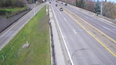
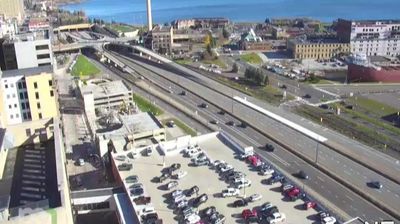

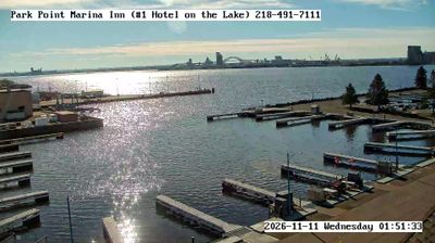


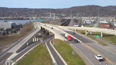

Duluth straddles the steep hillside above Lake Superior in northeastern Minnesota, a position that has made its harbor a major inland port. The city’s working waterfront centers on the Duluth Ship Canal, where the Aerial Lift Bridge rises for freighters entering the harbor. Canal Park occupies the old industrial shoreline, with warehouses adapted for restaurants, shops and public spaces, while the Lakewalk follows the water’s edge. Farther uphill, brick neighborhoods and Glensheen, a 1908 lakeside mansion, reflect Duluth’s early-20th-century prosperity. Lake Superior’s weather and shipping traffic remain central to the city’s identity. View additional webcams nearby to better understand how Duluth relates to Minnesota’s North Shore.
20 webcams
Forests, prairie and a vast lake country define much of Minnesota – these environments sustain farming, recreation and communities accustomed to long, cold winters. The Mississippi River begins at Lake Itasca in the north, then crosses the state on its way south, while Minnesota’s Lake Superior shoreline brings a markedly different, rocky Great Lakes character to the northeast. Minneapolis and Saint Paul form the Twin Cities on the river, the state’s principal urban centre. Minnesota is also home to Dakota and Ojibwe communities whose cultural presence remains central to the region. Move on to other webcams in the region to compare landscapes and settings around Minnesota.
1.2K webcams
The Atlantic, Pacific and Gulf coasts define much of the United States — their ports, fisheries and trade routes have long tied the country’s economy to the wider world. Between them, the Rocky Mountains, Great Plains and Mississippi River basin form sharply different regions, from high western ranges to broad agricultural heartlands. Cities carry much of the national story: New York’s Statue of Liberty, a gift from France dedicated in 1886, remains an enduring symbol, while Washington, DC concentrates major federal institutions. Indigenous nations have shaped these lands for millennia, and their living cultures remain essential to the country’s identity. Find related webcams in the surrounding areas to build a fuller picture of the United States.
32K webcams