 Dubuque: DQ - US 151 @ MM 94.4 (US 61 - North Wide Angle)
Dubuque is best known in Iowa for its historic setting on the Mississippi River. Founded by the French-Canadian miner Julien Dubuque, whose 1788 Spanish land grant enabled lead mining in the area, the city developed on steep bluffs above the river. Its riverfront and old downtown retain much of the character of a Mississippi port, while the Fenelon Place Elevator links the lower city with a blufftop neighborhood. Dubuque forms part of the tri-state area where Iowa meets Illinois and Wisconsin, giving it a regional role beyond its size. Outside the central river corridor, the terrain opens into rolling uplands, where major highways and commercial development connect the city with the wider Upper Midwest.
Generated by AI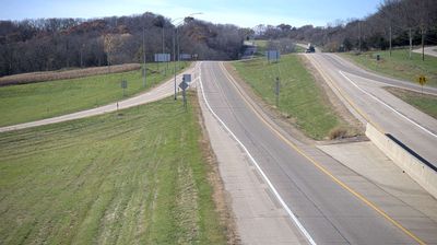


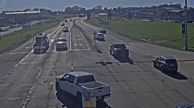
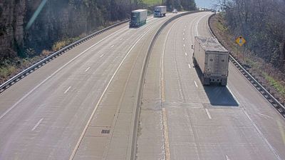
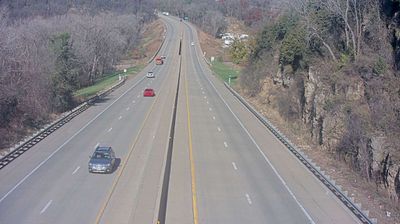


Dubuque straddles a line of limestone bluffs in eastern Iowa, and its position between the Mississippi River and the uplands shaped neighbourhoods built for mining, trade and transport. The city takes its name from Julien Dubuque, whose late-18th-century lead-mining venture predated Iowa’s statehood. Brick warehouses and former industrial buildings give the Millwork District a tangible link to that working past, while the riverfront is home to the National Mississippi River Museum & Aquarium. The Fenelon Place Elevator, operating since 1884, climbs from Fourth Street to the blufftop. Move on to other webcams in Iowa to compare river towns and rolling uplands around Dubuque.
41 webcams
Iowa combines broad agricultural openness with wooded river corridors in a way that reflects its position within the American Midwest. The Mississippi River forms much of the eastern border, while the Missouri River marks the west; between them, rolling prairie, farmland, and smaller waterways shape the state’s largely rural character. Des Moines, the capital, is Iowa’s main urban centre and hosts the annual Iowa State Fair, an institution closely associated with the state’s farming traditions. The Loess Hills along the western edge add a distinct landform to this predominantly lowland state. Browse additional webcams from the surrounding area to extend your view of Iowa.
1.1K webcams
The Atlantic, Pacific and Gulf coasts define much of the United States — their ports, fisheries and trade routes have long tied the country’s economy to the wider world. Between them, the Rocky Mountains, Great Plains and Mississippi River basin form sharply different regions, from high western ranges to broad agricultural heartlands. Cities carry much of the national story: New York’s Statue of Liberty, a gift from France dedicated in 1886, remains an enduring symbol, while Washington, DC concentrates major federal institutions. Indigenous nations have shaped these lands for millennia, and their living cultures remain essential to the country’s identity. Find related webcams in the surrounding areas to build a fuller picture of the United States.
32K webcams