 Dover
The landscape around Dover is a low, wooded coastal plain, which has shaped both the built environment and local life. The city stands on the Cocheco River, near its confluence with the Salmon Falls River, which forms the Piscataqua River. Dover was settled in 1623, and waterpower at Cocheco Falls supported textile manufacturing that left a lasting mark on its downtown. Brick mill buildings, a compact centre and residential neighbourhoods sit within a wider setting of forest and tidal waterways. NH Route 16, the Spaulding Turnpike, carries regional traffic through Dover, linking the city with Portsmouth and communities farther north. This blend of early settlement, river industry and transport connections gives Dover a practical, distinctly New England character.
Generated by AI
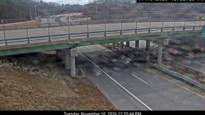
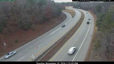
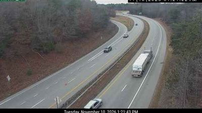
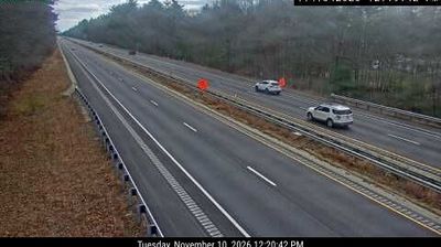

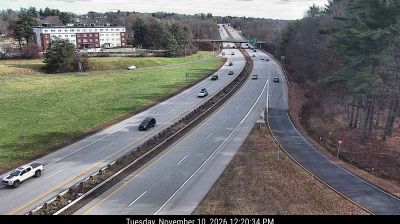
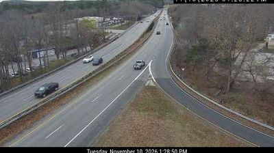


Among the cities of New Hampshire, Dover stands out for the industrial legacy shaped by the Cocheco River. Founded in 1623, it is widely recognized as the state’s oldest permanent settlement. The river’s falls powered early mills, and the red-brick Cocheco Mills district still gives downtown much of its character, recalling the textile industry that drove Dover’s growth in the 19th century. The Cocheco continues south to meet the Salmon Falls River, where the Piscataqua River begins, linking this inland city to the Seacoast. Local museums, shops and public spaces occupy a compact centre where colonial origins and mill-town history meet. See how Dover fits into New Hampshire’s Seacoast region by browsing webcams nearby.
19 webcams
New Hampshire occupies a mountainous inland position in the northeastern United States. The White Mountains define much of its northern character, culminating at Mount Washington, whose summit is famed for severe and rapidly changing weather. Southward, the Merrimack River links former mill cities including Manchester and Nashua, while Lake Winnipesaukee anchors the Lakes Region with wooded shores and island-dotted water. The state’s compact scale brings ski country, forest roads, historic seaports and New England town centres within reach of one another. Granite quarrying helped give New Hampshire its familiar nickname, the Granite State. Discover other points of interest through webcams located across New Hampshire.
330 webcams
The Atlantic, Pacific and Gulf coasts define much of the United States — their ports, fisheries and trade routes have long tied the country’s economy to the wider world. Between them, the Rocky Mountains, Great Plains and Mississippi River basin form sharply different regions, from high western ranges to broad agricultural heartlands. Cities carry much of the national story: New York’s Statue of Liberty, a gift from France dedicated in 1886, remains an enduring symbol, while Washington, DC concentrates major federal institutions. Indigenous nations have shaped these lands for millennia, and their living cultures remain essential to the country’s identity. Find related webcams in the surrounding areas to build a fuller picture of the United States.
32K webcams