 Dogneville: Aéro Club Vosgien
The landscape around Dogneville is a mosaic of open farmland and wooded ridges at the western edge of the Vosges, which has shaped both the built environment and local life. Aéro Club Vosgien is based at Épinal-Dogneville aerodrome, a small general-aviation field serving the Épinal area. Its open grassland setting contrasts with the compact urban fabric of nearby Épinal, the prefecture of the Vosges department. The Moselle valley lies close to Dogneville and forms one of the principal north–south corridors through this part of northeastern France. Épinal is internationally associated with Imagerie d’Épinal, the printmaking house founded in 1796 and known for its colourful popular images. Together, the airfield and surrounding agricultural land give Dogneville a distinctly rural counterpoint to the regional centre.
Generated by AI


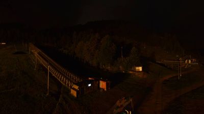

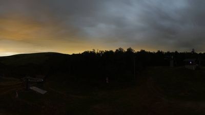
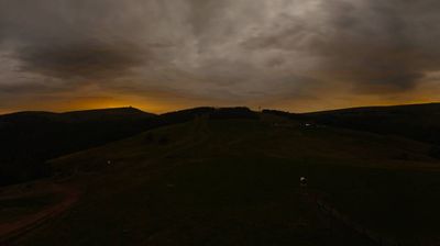


Dogneville occupies a rural stretch of the Moselle valley in the Vosges department of Grand Est, immediately north of Épinal. Fields, woodland and scattered housing give the commune a quieter character than the nearby departmental capital, while the foothills of the Vosges rise farther east. Dogneville belongs to Épinal’s wider urban area, linking its local life and roads closely to the city. Fort de Dogneville is among the defensive works associated with the late-19th-century fortifications around Épinal, recalling the strategic importance once attached to this corridor. View additional webcams nearby to better understand how Dogneville and the Épinal area relate to the Moselle valley.
1 webcam
Grand Est is best known in France for the Champagne vineyards that sustain one of the country’s most celebrated wine traditions. Extending from the Ardennes to Alsace on the German border, this large eastern region unites the historic territories of Alsace, Champagne-Ardenne and Lorraine. The Moselle runs through Lorraine, while the Rhine shapes much of the eastern frontier. Strasbourg, the regional capital, is home to the European Parliament and its celebrated Gothic cathedral; nearby Nancy is distinguished by the UNESCO-listed Place Stanislas. Continue through nearby webcams to explore different parts of Grand Est.
103 webcams
The Atlantic and Mediterranean coastlines, together with the Alps, Pyrenees and broad river basins, define much of France — they support maritime trade, farming, wine regions and travel throughout the year. The Seine runs through Paris, where the Eiffel Tower and the Louvre are among Europe’s most recognised landmarks. The Loire Valley is known for Renaissance châteaux, while Mont-Saint-Michel rises from a tidal bay in Normandy. Regional food traditions are equally distinctive, from Breton seafood to Provençal cooking, with bread, cheese and wine central to everyday life. France’s global cultural influence is evident in its language, literature, fashion and cinema. View additional webcams nearby to better understand how France’s coasts, plains and mountain borders relate to their surroundings.
1.8K webcams