 District of Žilina: Rosina
Chata na Grúni sits on the Grúň mountain meadow in Slovakia’s Malá Fatra, where open grazing land meets conifer forest beneath the range’s ridges. The mountain lodge stands above Terchová, in the wider Vrátna Valley area, a long-established base for walks into Malá Fatra National Park. Its slopes retain the working-meadow character typical of northern Slovak mountain settlements, with forest edges and scattered buildings rather than dense development. Terchová is closely associated with the folk hero Juraj Jánošík and with Terchová Music, an ensemble tradition inscribed on UNESCO’s Representative List of the Intangible Cultural Heritage of Humanity. Grúň places that local identity in a distinctly upland setting.
Generated by AI
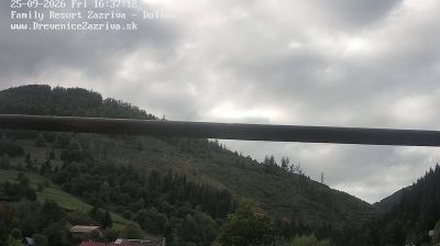

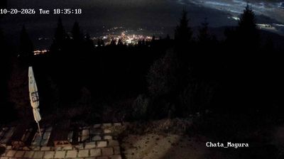



Žilina combines the pace of a north-west Slovak regional centre with the intimate scale of its arcaded old town, reflecting its position where the Váh and Kysuca rivers meet beneath the Malá Fatra. Mariánske námestie, laid out in the medieval town, remains its civic heart: burgher houses with covered arcades enclose the square beside the Cathedral of the Holy Trinity and the 16th-century Burian Tower. Near the confluence stands Budatín Castle, first documented in 1321. Žilina is also home to the University of Žilina and an important rail junction linking Slovakia with neighbouring countries. See how Žilina belongs within north-west Slovakia by browsing webcams nearby.
4 webcams
The Region of Žilina is best known in Slovakia for its concentration of Carpathian mountain ranges. In the country’s north, it brings together the valleys of Orava, Kysuce, Liptov and Turiec, with the Váh—Slovakia’s longest river—running through its central corridor. Malá Fatra is a defining presence, while parts of the Western Tatras and the High Tatras lie within the region. Orava Castle, set high above the Orava River, is among Slovakia’s best-known medieval fortresses. Near Ružomberok, Vlkolínec preserves a traditional mountain settlement inscribed on the UNESCO World Heritage List. Discover how the Region of Žilina connects with northern Slovakia by browsing webcams in the surrounding area.
42 webcams
Slovakia is best known internationally for the High Tatras, whose granite summits form the country’s most celebrated mountain landscape. Gerlachovský štít, at 2,655 metres, is the highest peak in Slovakia and in the Carpathians. The Danube runs past Bratislava, where Bratislava Castle stands on a hill above the river, linking the capital to Central Europe’s major waterway. Beyond the cities, forests, karst terrain and small historic towns define much of the country. Slovakia’s long folk tradition is also represented by the fujara, a large shepherd’s flute recognised by UNESCO. Browse additional webcams from the surrounding area to extend your view of the High Tatras and the Danube region.
237 webcams