 District of Čadca: SKI Makov
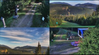
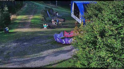
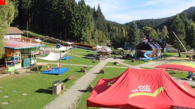
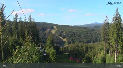
SKI Makov sits in the Javorníky Mountains in northwestern Slovakia, where forested ridges and open mountain pastures shape the Kysuce uplands. The centre stands near Makov, close to the Czech border, in a landscape of scattered farmsteads, fields and conifer woodland. Its ski slopes and lift infrastructure make it one of the area’s established winter-sport sites, while surrounding tracks link small mountain settlements with the Javorníky ridges. Makov belongs to a borderland long associated with Wallachian pastoral traditions; dispersed settlement and timber rural buildings remain part of Kysuce’s regional character. Rather than an urban resort, this is a mountain recreation area integrated into the countryside.
Generated by AI


The District of Čadca lies along the Kysuca valley, where wooded Carpathian hills surround settlements close to Slovakia’s borders with Poland and Czechia. Its main town, Čadca, is an important regional centre in Kysuce, a part of north-western Slovakia shaped by mountain routes and cross-border connections. At Vychylovka, the Kysuce Village Museum presents traditional buildings from the region, while the adjacent Kysuce Forest Railway is known for its rare switchback section. Hiking, cycling and winter recreation are central to the district’s outdoor character. Explore additional webcams nearby to see how the Kysuce region relates to its surrounding Carpathian foothills.
5 webcams
The Region of Žilina is best known in Slovakia for its concentration of Carpathian mountain ranges. In the country’s north, it brings together the valleys of Orava, Kysuce, Liptov and Turiec, with the Váh—Slovakia’s longest river—running through its central corridor. Malá Fatra is a defining presence, while parts of the Western Tatras and the High Tatras lie within the region. Orava Castle, set high above the Orava River, is among Slovakia’s best-known medieval fortresses. Near Ružomberok, Vlkolínec preserves a traditional mountain settlement inscribed on the UNESCO World Heritage List. Discover how the Region of Žilina connects with northern Slovakia by browsing webcams in the surrounding area.
45 webcams
Slovakia is best known internationally for the High Tatras, whose granite summits form the country’s most celebrated mountain landscape. Gerlachovský štít, at 2,655 metres, is the highest peak in Slovakia and in the Carpathians. The Danube runs past Bratislava, where Bratislava Castle stands on a hill above the river, linking the capital to Central Europe’s major waterway. Beyond the cities, forests, karst terrain and small historic towns define much of the country. Slovakia’s long folk tradition is also represented by the fujara, a large shepherd’s flute recognised by UNESCO. Browse additional webcams from the surrounding area to extend your view of the High Tatras and the Danube region.
241 webcams