 District of Tvrdošín: Habovka - Brestová - Osobitá
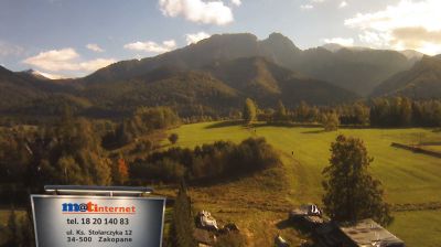
Habovka lies in the valley of the Blatná stream beneath the Western Tatras, where wooded lower slopes give way to open Orava fields and rugged ridges. The village stands near Brestová, one of the range’s high summits, and Osobitá, a sharply profiled mountain separated from the main Tatra crest. This is the Roháče area, the western section of the Tatras known for its compact alpine relief. At nearby Brestová, the Museum of Orava Village preserves traditional wooden buildings and introduces the settlement patterns and folk architecture of the Orava region. Habovka brings together working farmland, forested foothills and the mountain country of northern Slovakia.
Generated by AI

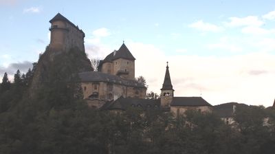



The District of Tvrdošín lies along the upper Orava River in northern Slovakia, where the Orava Highlands meet the foothills of the Western Tatras near the Polish border. Forested slopes, open mountain meadows and scattered settlements give this part of the Žilina Region a distinctly upland character. The district includes Tvrdošín, whose wooden Church of All Saints dates from the late 15th century and is inscribed on UNESCO’s World Heritage List as part of the Wooden Churches of the Slovak Carpathians. The nearby Oravice area is known for its thermal water and access to the Roháče section of the Western Tatras. Explore nearby webcam locations that provide complementary perspectives on the Tvrdošín District and northern Orava.
1 webcam
The Region of Žilina is best known in Slovakia for its concentration of Carpathian mountain ranges. In the country’s north, it brings together the valleys of Orava, Kysuce, Liptov and Turiec, with the Váh—Slovakia’s longest river—running through its central corridor. Malá Fatra is a defining presence, while parts of the Western Tatras and the High Tatras lie within the region. Orava Castle, set high above the Orava River, is among Slovakia’s best-known medieval fortresses. Near Ružomberok, Vlkolínec preserves a traditional mountain settlement inscribed on the UNESCO World Heritage List. Discover how the Region of Žilina connects with northern Slovakia by browsing webcams in the surrounding area.
42 webcams
Slovakia is best known internationally for the High Tatras, whose granite summits form the country’s most celebrated mountain landscape. Gerlachovský štít, at 2,655 metres, is the highest peak in Slovakia and in the Carpathians. The Danube runs past Bratislava, where Bratislava Castle stands on a hill above the river, linking the capital to Central Europe’s major waterway. Beyond the cities, forests, karst terrain and small historic towns define much of the country. Slovakia’s long folk tradition is also represented by the fujara, a large shepherd’s flute recognised by UNESCO. Browse additional webcams from the surrounding area to extend your view of the High Tatras and the Danube region.
237 webcams