 District of Liptovský Mikuláš: Ranch Kráľova Lehota - Ranč ZOO - Ranč Svarín
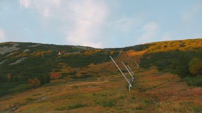
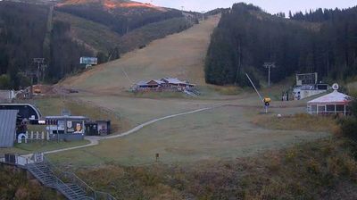
Ranč Svarín sits beside the Čierny Váh in the Low Tatras of northern Slovakia, where fenced meadows and timber-built holdings meet steep, conifer-covered slopes. This small settlement belongs to the municipality of Kráľova Lehota in the Liptovský Mikuláš District, an area shaped by the narrow valley of the Čierny Váh. Ranch Kráľova Lehota, Ranč Svarín and Ranč ZOO belong to the rural character of this part of Liptov rather than an urban resort setting. Above the settlement, wooded terrain rises into the Low Tatras, one of Slovakia’s major mountain ranges. Nearby, the Čierny Váh pumped-storage power plant, commissioned in 1982, is a significant element of regional energy infrastructure, using the valley’s relief and water system. The area conveys the everyday rhythm of a mountain valley east of Liptovský Mikuláš.
Generated by AI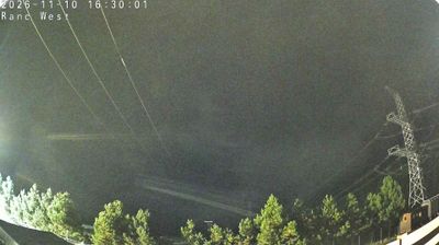
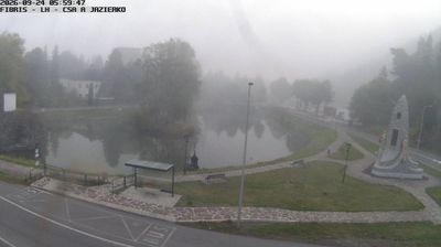
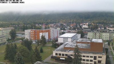


Built around the Church of St Nicholas, Liptovský Mikuláš grew into the historic administrative and commercial centre of the Liptov region. The town lies in the Liptov Basin on the Váh River, between the High and Low Tatras, placing it firmly in northern Slovakia’s mountain country. Its old centre retains the square and the former Liptov County Hall, where the outlaw Juraj Jánošík was tried in 1713. Nearby, the Demänovská Valley enters the Low Tatras and is known for caves and mountain routes. Browse other webcams across the Žilina Region to place Liptovský Mikuláš in a wider geographic context.
12 webcams
The Region of Žilina is best known in Slovakia for its concentration of Carpathian mountain ranges. In the country’s north, it brings together the valleys of Orava, Kysuce, Liptov and Turiec, with the Váh—Slovakia’s longest river—running through its central corridor. Malá Fatra is a defining presence, while parts of the Western Tatras and the High Tatras lie within the region. Orava Castle, set high above the Orava River, is among Slovakia’s best-known medieval fortresses. Near Ružomberok, Vlkolínec preserves a traditional mountain settlement inscribed on the UNESCO World Heritage List. Discover how the Region of Žilina connects with northern Slovakia by browsing webcams in the surrounding area.
45 webcams
Slovakia is best known internationally for the High Tatras, whose granite summits form the country’s most celebrated mountain landscape. Gerlachovský štít, at 2,655 metres, is the highest peak in Slovakia and in the Carpathians. The Danube runs past Bratislava, where Bratislava Castle stands on a hill above the river, linking the capital to Central Europe’s major waterway. Beyond the cities, forests, karst terrain and small historic towns define much of the country. Slovakia’s long folk tradition is also represented by the fujara, a large shepherd’s flute recognised by UNESCO. Browse additional webcams from the surrounding area to extend your view of the High Tatras and the Danube region.
241 webcams