 District of Gelnica: Kojšovská hol'a
The Volovské vrchy define the setting of Kojšovská hoľa — the 1,246-metre summit rises over forested ridges in the Slovak Ore Mountains. Its open upper slopes and conifer woodland form part of a mountain recreation area, with lift infrastructure serving the Kojšovská hoľa ski centre. The mountain lies in eastern Slovakia’s Gelnica district, in a range long associated with ore extraction; the Slovak Ore Mountains take their name from this mining heritage. Kojšovská hoľa brings together managed ski runs, upland forest and routes across the surrounding ridge country.
Generated by AI
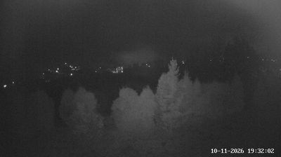

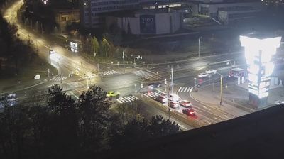

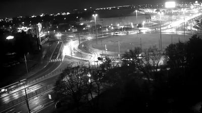



The Hnilec River defines the setting of the District of Gelnica — its narrow valley and the wooded ridges of the Slovak Ore Mountains concentrate settlements along a historic east–west corridor. In eastern Slovakia’s Košice Region, former mining communities lie between extensive forests and upland roads. Gelnica, the district town, developed as a medieval mining centre; the ruins of Gelnica Castle stand above the town as a reminder of that past. Local routes lead through small settlements and a landscape shaped by ore extraction, forestry and mountain terrain. Discover other points of interest through webcams located across the Košice Region.
5 webcams
The Region of Košice combines the urban energy of Slovakia’s second-largest city with the broad, quieter landscapes of the east in a way that reflects its position between the Slovak Ore Mountains and the lowlands near Hungary. Košice is centred on Hlavná ulica, where St Elisabeth Cathedral forms the Gothic focal point of the historic core. Beyond the city, the Hornád River crosses a region of wooded hills, farmland and karst terrain. Slovak Karst National Park, known for its extensive cave systems, adds a distinct geological dimension to this corner of Slovakia. Browse additional webcams from the surrounding area to extend your view of eastern Slovakia.
25 webcams
Slovakia is best known internationally for the High Tatras, whose granite summits form the country’s most celebrated mountain landscape. Gerlachovský štít, at 2,655 metres, is the highest peak in Slovakia and in the Carpathians. The Danube runs past Bratislava, where Bratislava Castle stands on a hill above the river, linking the capital to Central Europe’s major waterway. Beyond the cities, forests, karst terrain and small historic towns define much of the country. Slovakia’s long folk tradition is also represented by the fujara, a large shepherd’s flute recognised by UNESCO. Browse additional webcams from the surrounding area to extend your view of the High Tatras and the Danube region.
237 webcams