 Darbu
The wooded hills of Øvre Eiker define the setting of Darbu — scattered farms, small stands of trees and open fields give this stretch of eastern Norway a settled rural character. The locality lies on the E134, the long-distance highway that crosses southern Norway from the Oslofjord area towards Haugesund on the west coast. Near Hokksund and Kongsberg, Darbu forms part of a corridor where local roads join a route used by through traffic. Øvre Eiker is a municipality in Buskerud, and its mix of cultivated ground and forest reflects the low, rolling terrain between the larger towns. For travellers, Darbu is a useful point of orientation in this working inland landscape.
Generated by AI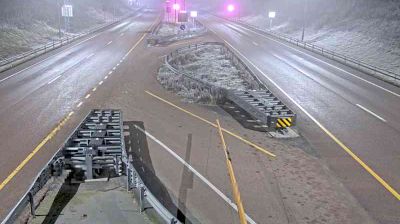

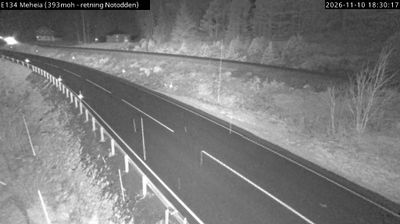




Darbu is best known within Norway for its setting beside the Drammenselva river in the Eiker valley. This small settlement belongs to Øvre Eiker municipality, between the larger towns of Hokksund and Kongsberg, where farmland, woodland and low hills shape the inland landscape of Buskerud. Darbu Station lies on the Sørlandet Line, linking the community to Norway’s national rail network and reflecting the railway’s enduring role in the valley. The river corridor and surrounding rural roads make Darbu a quiet point from which to understand this part of southeastern Norway. Explore nearby webcam locations that provide complementary perspectives on Darbu and the Drammenselva valley.
1 webcam
Hallingdal and Numedal, long valleys framed by forests and mountain plateaus, define much of Buskerud - farming, forestry and outdoor travel have shaped communities from the interior towards the Oslofjord. The Drammenselva runs south through Drammen and enters the Drammensfjord, while Hardangervidda reaches into the county’s west and gives the landscape a markedly upland character. Kongsberg is closely tied to Norway’s silver-mining history: silver was discovered there in 1623, and the town developed around the mines. Geilo and the wider Hallingdal area are established bases for winter sports and summer mountain trips. Move on to other webcams in the region to compare landscapes and settings around Buskerud.
91 webcams
Norway has served as a seafaring link between the North Atlantic and northern Europe since the Viking Age. Its long coastline is cut by fjords, while the Lofoten archipelago rises sharply from the Norwegian Sea and the mountains of Jotunheimen include Galdhøpiggen, Norway’s highest peak. Bergen’s Bryggen, the former Hanseatic wharf, recalls centuries of maritime trade. Farther north, Sámi culture remains an essential part of the country’s identity. Explore nearby webcam locations that provide complementary perspectives on Norway’s coast, fjords and mountain regions.
1.5K webcams