 Dajt: Rodzinny Park Linowy Lubin - Park Leśny Lubin - Plac Zabaw ul. Leśna - Dajti Ekspres
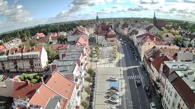
Few places in Lower Silesia have a history as closely tied to copper mining as Lubin. Park Leśny Lubin brings woodland recreation into a city identified with the Legnica–Głogów Copper District. Its paths, playground and Rodzinny Park Linowy Lubin provide a family-oriented counterpoint to an urban economy long shaped by mining and metallurgy. Lubin is home to KGHM Polska Miedź, founded in 1961 and one of Poland’s defining copper producers. The Zimnica stream runs through the city before joining the Kaczawa, while Lubin’s modern identity is also expressed by Zagłębie Lubin, its professional football club.
Generated by AI


Among the settlements of Central Albania, Dajt stands out for its setting beside Mount Dajti, east of Tirana. The mountain rises to 1,613 metres and forms the centrepiece of Dajti Mountain National Park, established in 1966; its wooded limestone slopes create a marked contrast with the capital’s urban plain. Dajt is closely connected to Tirana’s excursion culture, and the Dajti Ekspres cable car carries passengers from the city’s eastern outskirts towards the mountain. The area shows how quickly Albania’s political centre gives way to upland terrain. Continue through nearby webcams to explore different parts of Dajt and Mount Dajti.
1 webcam
The terrain of Central Albania ranges from the Adriatic lowlands in the west to rugged hills and mountains farther east, creating a region of broad plains, river valleys and upland slopes. The Shkumbin River crosses this part of the country on its way to the Adriatic, while Elbasan stands as an important inland centre along the old route between the coast and North Macedonia. Its walled old town reflects the city’s long strategic role, and the local ballokume sweet is closely associated with Dita e Verës, the spring festival celebrated each March. Tirana adds Albania’s political and cultural energy, contrasting with the quieter agricultural districts beyond the capital. Move on to other webcams in the region to compare landscapes and settings around Central Albania.
1 webcam
Mountain ranges define much of Albania — steep terrain has concentrated settlements and transport routes in valleys and along the coastal plain, while rivers such as the Drin support hydropower. The Albanian Alps rise in the north, and the Adriatic and Ionian coasts shape the country’s western and southern shores. Tirana is the capital and largest city, while Berat and Gjirokastër are UNESCO World Heritage cities noted for their historic urban fabric. Albania’s Mediterranean setting also appears in olive growing, coastal cuisine and cultural influences from the Balkans, the Ottoman world and Italy. Explore nearby webcam locations that provide complementary perspectives on Albania’s mountains, towns and coast.
14 webcams