 Crested Butte: Colorado 135
Crested Butte sits at the foot of the Elk Mountains in Colorado, United States, where Colorado 135 runs into a former mining town near the upper East River valley. The highway is the community’s principal road link to Gunnison and the wider Western Slope, creating a north–south spine through town. Coal mining shaped Crested Butte’s early economy, and its compact centre retains many buildings from the late 19th and early 20th centuries. Today, the town is also closely associated with mountain recreation and Crested Butte Mountain Resort on the slopes of Crested Butte Mountain. Forested ridges and high basins of the Rocky Mountains begin close to the built-up area, underlining the town’s remote mountain setting.
Generated by AI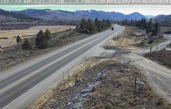
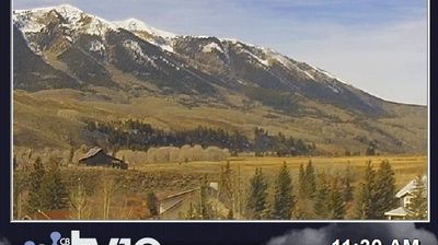
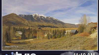

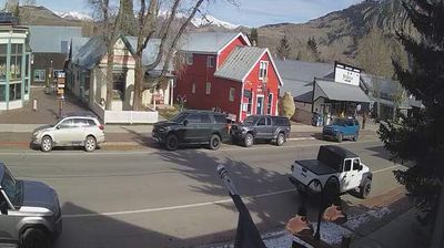

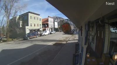
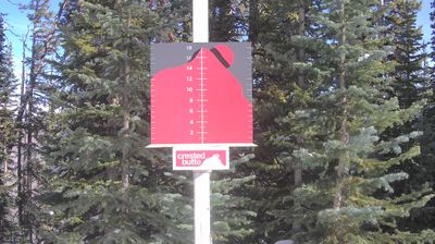


Tucked into the Elk Mountains of central Colorado, Crested Butte is a place whose character is shaped by high elevation, snowy winters and a compact valley setting. Coal Creek runs through town toward the Slate River, while the prominent peak of Crested Butte rises immediately to the north. The settlement developed as a coal-mining community in the late 19th century; its National Historic District preserves a walkable grid of wooden storefronts, homes and public buildings from that era. Today, trails, ski terrain and summer wildflower meadows place outdoor life at the center of local culture. The town remains distinct from nearby Mount Crested Butte, a separate resort community. See how Crested Butte relates to the Elk Mountains and Colorado high country by browsing webcams nearby.
9 webcams
Among the states of the United States, Colorado stands out for the high Rocky Mountain country running through its centre. Around this part of the state, forested slopes, open basins and granite outcrops form the interior landscape of the Rockies, where conditions can change rapidly with the season. The Continental Divide crosses Colorado, separating waters that flow toward the Pacific from those bound for the Atlantic and Gulf coasts. The Arkansas River rises in the central Rockies and is one of the state’s major waterways. Admitted to the Union in 1876, Colorado is still known as the Centennial State. See how central Colorado connects with the wider Rocky Mountain region by browsing webcams nearby.
214 webcams
The Atlantic, Pacific and Gulf coasts define much of the United States — their ports, fisheries and trade routes have long tied the country’s economy to the wider world. Between them, the Rocky Mountains, Great Plains and Mississippi River basin form sharply different regions, from high western ranges to broad agricultural heartlands. Cities carry much of the national story: New York’s Statue of Liberty, a gift from France dedicated in 1886, remains an enduring symbol, while Washington, DC concentrates major federal institutions. Indigenous nations have shaped these lands for millennia, and their living cultures remain essential to the country’s identity. Find related webcams in the surrounding areas to build a fuller picture of the United States.
32K webcams