 Corydon: I-64: 1-064-105-5-1-rwis
The landscape around Corydon is defined by the rolling limestone hills of southern Indiana, which have shaped both the town’s development and local life. Located north of the Ohio River, Corydon grew as an early settlement in the state’s karst country, where caves and sinkholes form part of the wider terrain. It served as Indiana’s first state capital from 1816 to 1825; the Old Capitol building remains central to its historic identity. Corydon also marked a Civil War milestone in 1863, when the Battle of Corydon became the only Civil War battle fought in Indiana. Today, the Harrison County seat combines this civic heritage with roadside services and commercial areas around Interstate 64, while its central district retains a small-town street pattern.
Generated by AI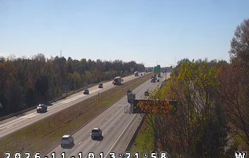
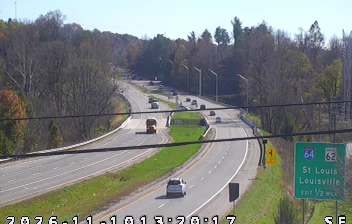
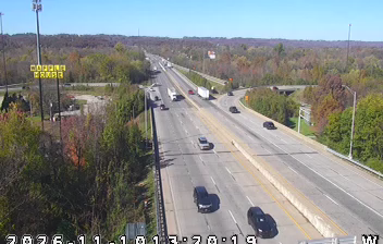


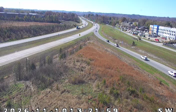
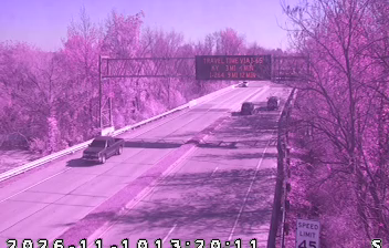
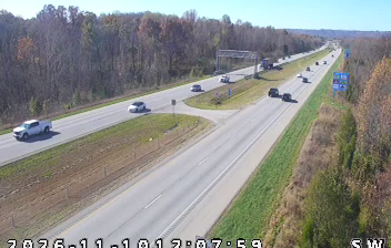
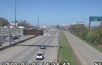
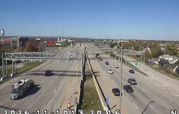

The wooded, karst terrain around Corydon is underlain by limestone and marked by rolling ground and sinkholes, which have shaped both settlement patterns and the local economy. Big Indian Creek runs through the area, while the Ohio River forms the southern edge of Harrison County. Corydon was Indiana’s first state capital from 1816 to 1825, and the 1816 Old Capitol building remains central to the Corydon Capitol State Historic Site. The town is also associated with the Battle of Corydon, fought in 1863 during Confederate General John Hunt Morgan’s raid into Indiana. Its courthouse square, historic sites and Cave Country setting give this county seat a distinct southern Indiana identity. Continue through nearby webcams to explore different parts of Corydon and southern Indiana.
1 webcam
Indiana’s terrain ranges from the sandy Lake Michigan shore and glaciated plains in the north to wooded, rolling hills in the south, creating a clear shift in character across the state. The Wabash River, Indiana’s state river, follows much of the western border before meeting the Ohio River. Indianapolis anchors the centre with the Indianapolis Motor Speedway, home of the Indianapolis 500, while smaller cities and farming communities reflect the importance of corn and soybean country. Indiana Dunes National Park adds beaches and dune formations to a state better known for its interior. Find related webcams in the surrounding area to build a fuller picture of Indiana.
353 webcams
The Atlantic, Pacific and Gulf coasts define much of the United States — their ports, fisheries and trade routes have long tied the country’s economy to the wider world. Between them, the Rocky Mountains, Great Plains and Mississippi River basin form sharply different regions, from high western ranges to broad agricultural heartlands. Cities carry much of the national story: New York’s Statue of Liberty, a gift from France dedicated in 1886, remains an enduring symbol, while Washington, DC concentrates major federal institutions. Indigenous nations have shaped these lands for millennia, and their living cultures remain essential to the country’s identity. Find related webcams in the surrounding areas to build a fuller picture of the United States.
32K webcams