 Comuna 11 - Laureles-Estadio: La Candelaria - Villa Hermosa - Cerro Pan de Azúcar
Medellín has served as a commercial centre in Antioquia since the colonial era. La Candelaria is the city’s central comuna and historic downtown, where Plaza Botero brings together 23 bronze sculptures donated by Fernando Botero and the Museum of Antioquia. To the east, Villa Hermosa climbs the slopes of the Aburrá Valley toward Cerro Pan de Azúcar, part of the mountainous rim enclosing the metropolis. The Medellín River runs along the valley floor, while Laureles-Estadio lies on its western side, known for broad, tree-lined avenues and the Atanasio Girardot sports complex. Together these districts illustrate Medellín’s dense, basin-bound urban form and its contrast between the central core, residential hillsides and civic sports facilities.
Generated by AI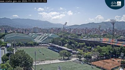

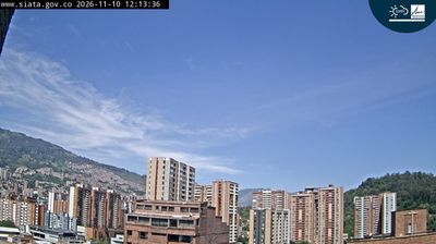
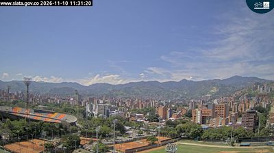
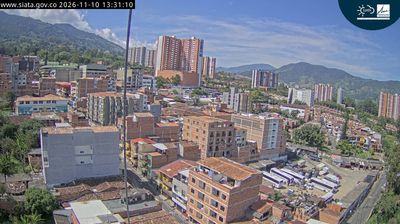
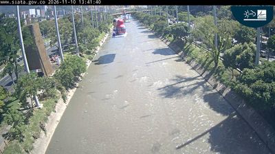
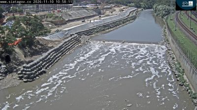
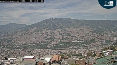


Comuna 11 – Laureles-Estadio lies in Medellín’s Aburrá Valley in Antioquia, Colombia, where dense urban neighbourhoods fill a narrow basin between Andean slopes. This western comuna is a residential and university-oriented part of Medellín, yet it also contains one of the city’s foremost sporting precincts. The Atanasio Girardot Sports Complex centres on its football stadium, shared by Atlético Nacional and Independiente Medellín, and surrounding streets become especially animated on match days. The main campus of the Universidad Pontificia Bolivariana adds another important institution to the area’s daily rhythm. Explore nearby webcam locations for complementary perspectives on Medellín and the Aburrá Valley.
5 webcams
Antioquia has served as a mining heartland within Colombia since the colonial era. Its terrain runs from the Magdalena River valley to the Western and Central Andes, while the Cauca River cuts through the department and shapes fertile valleys. Medellín, the departmental capital, lies in the Aburrá Valley and is Colombia’s second-largest city; its urban growth contrasts with coffee farms and cattle country beyond the metropolitan area. The region is closely associated with paisa culture, reflected in its food, speech and entrepreneurial traditions. Santa Fe de Antioquia, the former departmental capital, preserves a colonial-era centre near the Cauca River. Browse other webcams across Antioquia to place this Andean region in a wider Colombian context.
19 webcams
The Andes define much of Colombia — their three main branches shape distinct regions, support coffee cultivation on mountain slopes and frame high-altitude cities. The Magdalena River runs north through the country toward the Caribbean, while Colombia also reaches the Pacific and the Amazon basin. Bogotá stands on an Andean plateau, and Cartagena’s walled historic centre recalls the Spanish colonial era. Coffee remains a major national product, particularly in the central-western Coffee Cultural Landscape. Barranquilla’s Carnival is another defining tradition, celebrated with music, dance and elaborate costumes. Continue through nearby webcams to explore different parts of Colombia.
20 webcams