 Columbia: I-26 W @ MM 103.9
Columbia occupies an inland position in South Carolina’s Midlands, near the meeting of the Broad and Saluda rivers, which form the Congaree River. As the state capital, it combines government districts with extensive residential and commercial areas across a growing metropolitan region. The University of South Carolina, founded in 1801, gives the city a major academic presence, while the South Carolina State House anchors its civic centre. Interstate 26 is one of Columbia’s principal regional corridors, linking the area with Charleston and the Upstate. Riverfront parks and the Congaree floodplain add a lowland character to this inland city.
Generated by AI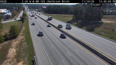
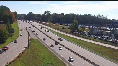


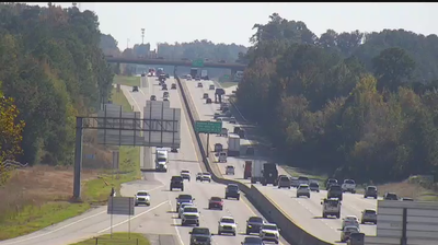
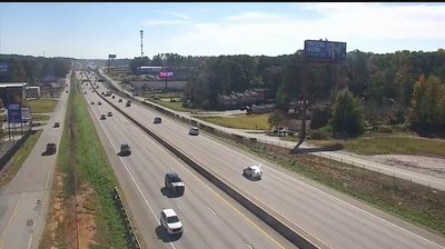
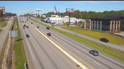

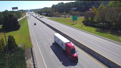


Tucked along the Congaree River in central South Carolina, Columbia is a place whose character is shaped by the meeting of the Broad and Saluda rivers. As the state capital, it centres on the South Carolina State House, whose grounds and dome anchor a formal civic district. The University of South Carolina, founded in 1801, gives the city a longstanding academic presence, while the historic Columbia Canal and Riverfront Park follow the waterway beside downtown. The Three Rivers Greenway includes routes for walking and cycling along the riverfront. Downstream, the Congaree River leads toward the floodplain forests protected by Congaree National Park. See how Columbia fits within the South Carolina Midlands by browsing webcams nearby.
28 webcams
Among the regions of the United States, South Carolina stands out for its sweep from the Atlantic coast and tidal Lowcountry to the foothills of the Blue Ridge. Its shoreline combines barrier islands, salt marshes and estuaries, with Charleston long established as one of the country’s important Atlantic port cities. Fort Sumter, in Charleston Harbor, is where the American Civil War began in 1861. Farther inland, Congaree National Park protects a notable expanse of old-growth bottomland hardwood forest, while Columbia serves as the state capital. Discover other points of interest through webcams located across South Carolina.
798 webcams
The Atlantic, Pacific and Gulf coasts define much of the United States — their ports, fisheries and trade routes have long tied the country’s economy to the wider world. Between them, the Rocky Mountains, Great Plains and Mississippi River basin form sharply different regions, from high western ranges to broad agricultural heartlands. Cities carry much of the national story: New York’s Statue of Liberty, a gift from France dedicated in 1886, remains an enduring symbol, while Washington, DC concentrates major federal institutions. Indigenous nations have shaped these lands for millennia, and their living cultures remain essential to the country’s identity. Find related webcams in the surrounding areas to build a fuller picture of the United States.
32K webcams