 Colatina: Colatina Airport
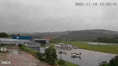
Colatina is best known within Espírito Santo for its role as a commercial centre on the Rio Doce. The city developed on both sides of this major river in northern Espírito Santo, where rolling inland hills meet an urban area shaped by trade and services. Colatina Airport lies outside the denser centre, in a setting of open ground, low-rise airport buildings and pasture-like hills. The Florentino Avidos Bridge is a defining structure in the city, carrying a road connection across the Rio Doce. Coffee growing has long been important to the wider Espírito Santo interior, placing Colatina within one of Brazil’s leading coffee-producing states.
Generated by AI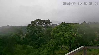

Colatina has served as a commercial and agricultural centre in Espírito Santo since the early 20th century. The city spreads along the Rio Doce, one of southeastern Brazil’s major rivers, which has long influenced transport links and urban growth. Coffee cultivation helped establish the local economy, while migration from Italy and other parts of Brazil contributed to the community’s character. The Florentino Avidos Bridge, crossing the Rio Doce near the centre, is among Colatina’s best-known landmarks. Today, the city is an important regional hub for services, trade and education in northern Espírito Santo. Explore additional webcams near Colatina to better understand how the Rio Doce valley relates to its surroundings.
3 webcams
Espírito Santo balances an Atlantic-facing coast with a mountainous interior in a way that reflects its position between the ocean and Brazil’s southeastern highlands. Its capital, Vitória, occupies an island in a bay along the central coast, while neighbouring Vila Velha is crowned by the Convento da Penha, a major Catholic pilgrimage site founded in the 16th century. Beaches, ports and urban districts line the shore; inland, the Serra do Caparaó reaches toward the state border, and the Doce River crosses the north before meeting the Atlantic. Coffee farming remains an important part of Espírito Santo’s identity, particularly in rural areas. Find related webcams in the surrounding area to build a fuller picture of Espírito Santo.
10 webcams
Brazil has served as a Portuguese colonial link between Europe and South America since the 16th century. Its immense territory extends from the Amazon River basin in the north to the Atlantic coast, with the Pantanal wetlands and Brazilian Highlands creating very different regions inland. Rio de Janeiro sits beside Guanabara Bay beneath Sugarloaf Mountain, while Brasília is known for its planned layout and modernist buildings by Oscar Niemeyer. Portuguese is the official language, and football, regional cuisines and Carnival celebrations are central to public life across the country. Continue through nearby webcams to explore different parts of Brazil.
144 webcams