 City of London: Farringdon Rd/Cowcross St
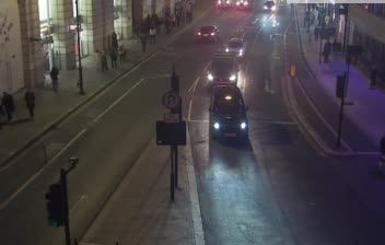
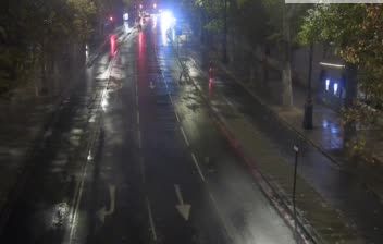
The River Thames defines the setting of the City of London — its broad valley has concentrated trade, transport and dense streets around the historic core. Farringdon Road meets Cowcross Street in Farringdon, just north-west of the City, between Clerkenwell and Smithfield, an area shaped by wholesale markets, workshops and later offices. Farringdon station is a major interchange for the Elizabeth line, Thameslink and London Underground. Nearby Smithfield Market has supplied London for centuries, while the Metropolitan Railway, opened in 1863, made Farringdon part of the world’s first underground railway network. This is central London at working-street level, with buses, cyclists and pedestrians moving through a compact commercial district.
Generated by AI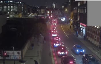
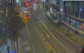





The City of London occupies the north bank of the River Thames in central London, England. Often called the Square Mile, it is the historic core of Londinium and remains a global centre for banking, insurance and legal services, governed separately from the surrounding London boroughs. Medieval lanes run beside towers of the financial district, while surviving fragments of the Roman city wall recall its origins nearly two millennia ago. St Paul’s Cathedral, rebuilt to Christopher Wren’s design after the Great Fire of 1666 and completed in 1710, anchors the western side of the City. Continue with other webcams from the area to see how this part of central London connects regionally.
34 webcams
England’s lowland plains, upland ranges and extensive coastline define much of England - these contrasts have long shaped farming, maritime trade and the growth of its cities. The Midlands, where this location lies, sit at the country’s inland centre and were pivotal to Britain’s Industrial Revolution. The River Thames links London with the North Sea, while the Pennines form a major upland spine farther north. Roman roads, medieval cathedrals and industrial-era towns remain visible parts of the national fabric. Explore related webcams around England to build a fuller picture of this varied country.
1.2K webcams
The United Kingdom combines long-established institutions with sharply varied regional identities in a way that reflects its position within northwestern Europe. England, Scotland, Wales and Northern Ireland share a state while retaining distinct traditions, languages and landscapes. The River Thames runs through London, where the Palace of Westminster and the Tower of London mark centuries of national life; Edinburgh’s Old and New Towns are UNESCO-listed. The Highlands, Eryri’s mountains and Atlantic-facing coasts contrast with the densely settled southeast. Football, theatre, pub culture and music remain everyday threads in a country with global cultural influence. View additional webcams nearby to better understand how the United Kingdom relates to its Atlantic and European surroundings.
1.3K webcams