 Chacras de Paysandu: Papa Charlie Flight School - Charles Chalkling
The Uruguay River defines the setting of Chacras de Paysandú — its broad, low plain gives the countryside east of Paysandú an open agricultural character. Charles Chalkling forms part of this rural setting, while Papa Charlie Flight School brings small-aircraft training to an area of fields and dispersed farmsteads. Paysandú stands on Uruguay’s western border with Argentina, across the river from Entre Ríos Province. The city is closely associated with the 1864–65 defence of Paysandú, an episode remembered in Uruguay’s national history. Chacras de Paysandú provides a quieter counterpart to the urban riverfront, where working land and grass airfields set the scale.
Generated by AI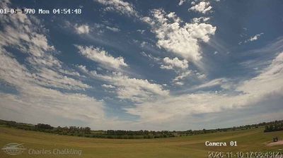

Among the settlements of Paysandú Department, Chacras de Paysandú stands out for its low-density rural setting on the outskirts of the departmental capital. Fields and country roads give this area a markedly quieter character than central Paysandú, while the Uruguay River lies a short distance to the west and defines the wider borderland landscape. The nearby city of Paysandú is closely associated with the Defence of Paysandú of 1864–65, a defining episode in Uruguayan history. Continue through nearby webcams to explore different parts of Paysandú and the Uruguay River corridor.
2 webcams
Paysandú combines riverfront lowlands with gently rolling interior countryside in a way that reflects its position along Uruguay’s western frontier with Argentina. The Uruguay River marks the department’s western edge and gives its capital, the city of Paysandú, a long-standing role as a river port. This is cattle-and-farming country, but its identity is also tied to the 1864–65 Siege of Paysandú, a defining episode in Uruguay’s national memory. North of the city, the Termas de Guaviyú bring thermal waters into a landscape otherwise shaped by open fields and riverine woods. Find related webcams in the surrounding area to build a fuller picture of Paysandú Department.
2 webcams
Shaped by trade along the Río de la Plata and the Atlantic coast, Uruguay developed into a South American republic with a distinct cultural identity. Montevideo, its capital, spreads along the Río de la Plata; the Ciudad Vieja preserves the city’s historic core, while the Rambla follows the waterfront for kilometres. In the west, Colonia del Sacramento is a UNESCO World Heritage site known for its Portuguese colonial quarter. Beyond the cities, rolling grasslands support a gaucho tradition, and sharing maté remains part of daily social life. The Atlantic shore includes Punta del Este and the coastal lagoon of Laguna de Rocha. Explore nearby locations for complementary perspectives on Uruguay’s coast and interior.
3 webcams